Skip to product information
1 of 12

PayPal, credit cards. Download editable-PDF and invoice in 1 second!

GB/T 42056-2022 English PDF (GBT42056-2022)

GB/T 42056-2022 English PDF (GBT42056-2022)

Regular price $305.00 USD
Regular price Sale price $305.00 USD
Sale Sold out
Shipping calculated at checkout.
Delivery: 3 seconds. Download true-PDF + Invoice.
Get QUOTATION in 1-minute: Click GB/T 42056-2022
Historical versions: GB/T 42056-2022
Preview True-PDF (Reload/Scroll if blank)

GB/T 42056-2022: Specifications for high accuracy expression of route and facility elements of electronic highway map
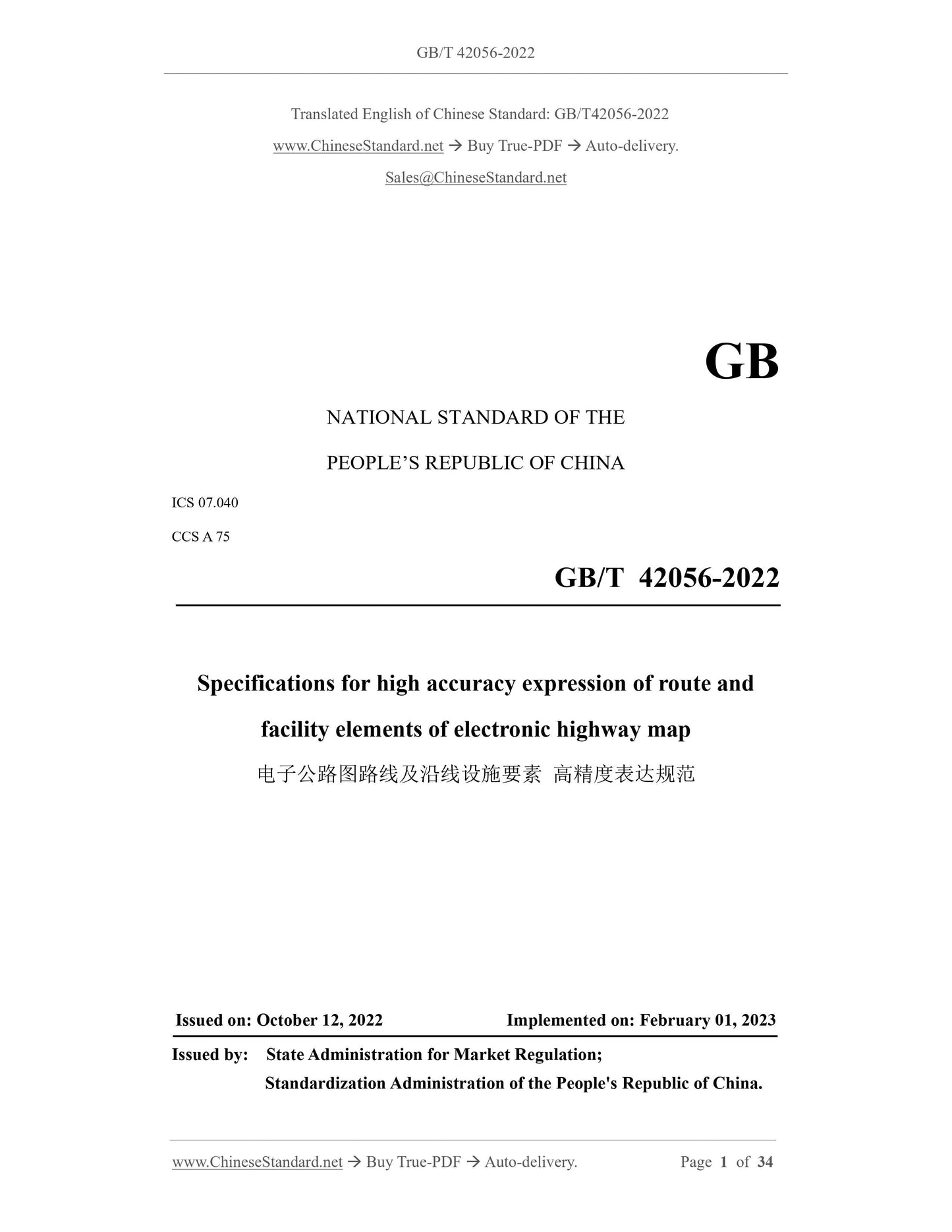
GB/T 42056-2022
GB
NATIONAL STANDARD OF THE
PEOPLE’S REPUBLIC OF CHINA
ICS 07.040
CCS A 75
Specifications for high accuracy expression of route and
facility elements of electronic highway map
ISSUED ON: OCTOBER 12, 2022
IMPLEMENTED ON: FEBRUARY 01, 2023
Issued by: State Administration for Market Regulation;
Standardization Administration of the People's Republic of China.
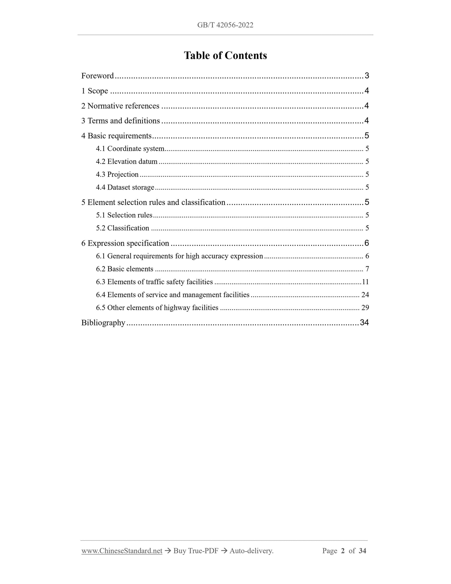
Table of Contents
Foreword ... 3
1 Scope ... 4
2 Normative references ... 4
3 Terms and definitions ... 4
4 Basic requirements ... 5
4.1 Coordinate system ... 5
4.2 Elevation datum ... 5
4.3 Projection ... 5
4.4 Dataset storage ... 5
5 Element selection rules and classification ... 5
5.1 Selection rules ... 5
5.2 Classification ... 5
6 Expression specification ... 6
6.1 General requirements for high accuracy expression ... 6
6.2 Basic elements ... 7
6.3 Elements of traffic safety facilities ... 11
6.4 Elements of service and management facilities ... 24
6.5 Other elements of highway facilities ... 29
Bibliography ... 34
Specifications for high accuracy expression of route and
facility elements of electronic highway map
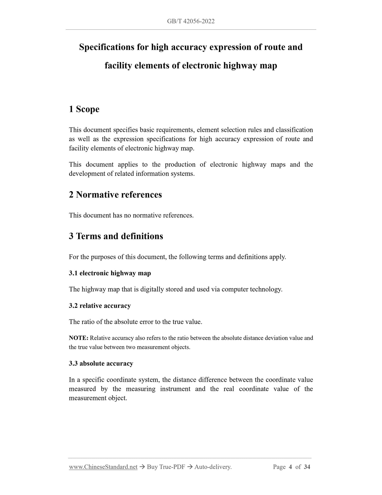
1 Scope
This document specifies basic requirements, element selection rules and classification
as well as the expression specifications for high accuracy expression of route and
facility elements of electronic highway map.
This document applies to the production of electronic highway maps and the
development of related information systems.
2 Normative references
This document has no normative references.
3 Terms and definitions
For the purposes of this document, the following terms and definitions apply.
3.1 electronic highway map
The highway map that is digitally stored and used via computer technology.
3.2 relative accuracy
The ratio of the absolute error to the true value.
NOTE: Relative accuracy also refers to the ratio between the absolute distance deviation value and
the true value between two measurement objects.
3.3 absolute accuracy
In a specific coordinate system, the distance difference between the coordinate value
measured by the measuring instrument and the real coordinate value of the
measurement object.
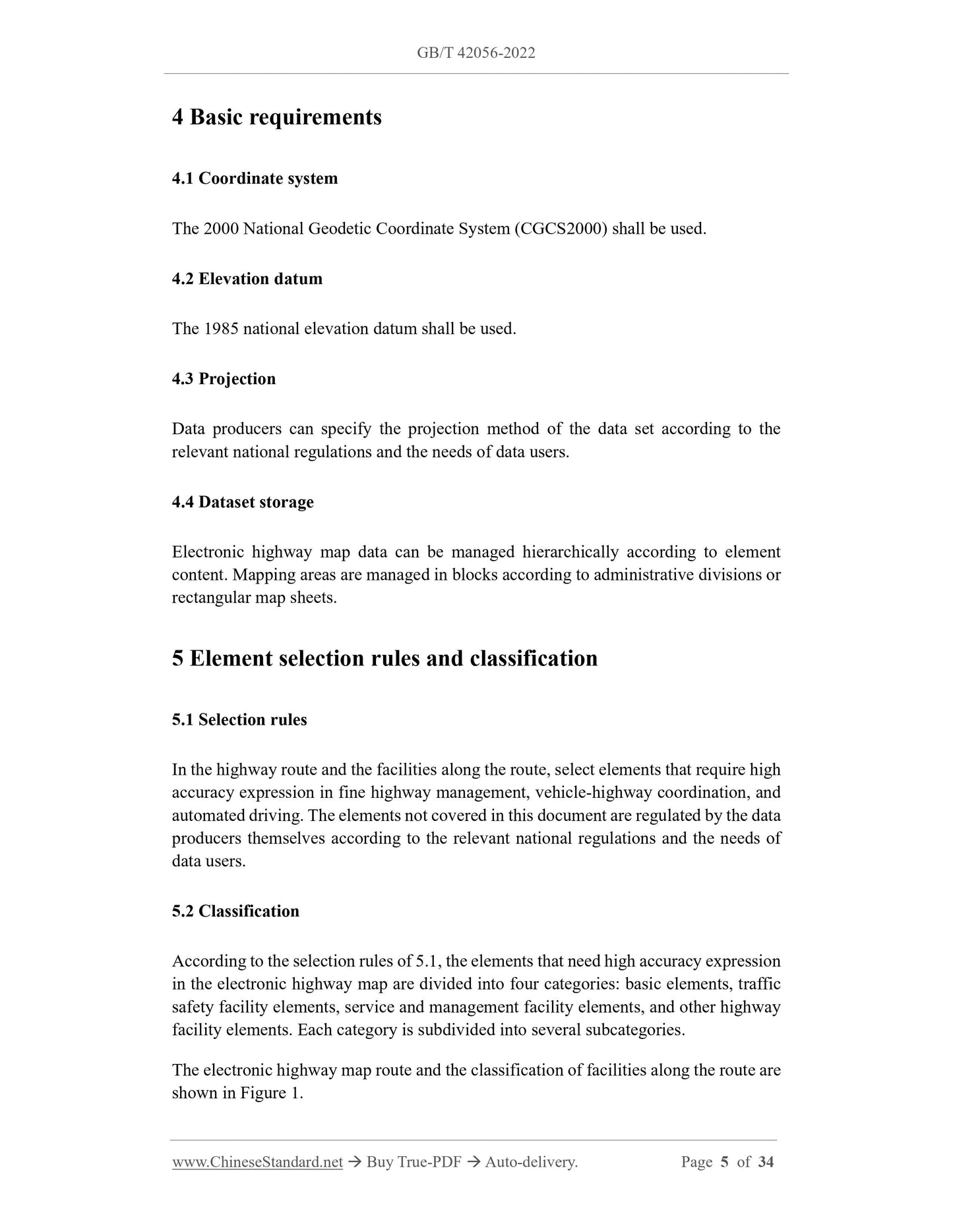
4 Basic requirements
4.1 Coordinate system
The 2000 National Geodetic Coordinate System (CGCS2000) shall be used.
4.2 Elevation datum
The 1985 national elevation datum shall be used.
4.3 Projection
Data producers can specify the projection method of the data set according to the
relevant national regulations and the needs of data users.
4.4 Dataset storage
Electronic highway map data can be managed hierarchically according to element
content. Mapping areas are managed in blocks according to administrative divisions or
rectangular map sheets.
5 Element selection rules and classification
5.1 Selection rules
In the highway route and the facilities along the route, select elements that require high
accuracy expression in fine highway management, vehicle-highway coordination, and
automated driving. The elements not covered in this document are regulated by the data
producers themselves according to the relevant national regulations and the needs of
data users.
5.2 Classification
According to the selection rules of 5.1, the elements that need high accuracy expression
in the electronic highway map are divided into four categories: basic elements, traffic
safety facility elements, service and management facility elements, and other highway
facility elements. Each category is subdivided into several subcategories.
The electronic highway map route and the classification of facilities along the route are
shown in Figure 1.
6.2.4 Route intersection
6.2.4.1 Element definition
A route intersection is the intersection of two or more roads.
Route intersection is divided into:
- Plane intersection: the intersection of road and road in the same plane. The forms
mainly include straight intersection, oblique intersection, circular intersection, T-
shaped intersection, and dislocation intersection;
- Overhead intersection: the three-dimensional space intersection of road and road
or road and railway at different elevations. The forms mainly include separated
overhead intersection, intercommunicate overhead intersection and cloverleaf
overhead intersection.
[Source: Section 3 Road Intersection, Chapter 4, JTJ 002-1987, modified]
6.2.4.2 Element attributes
The attributes of route intersection elements shall include number, name, type,
intersection spacing, design service level, and approach road sight distance.
6.2.4.3 Geometric expression specification
The plane intersection geometry shall be expressed by point elements (division and
confluence) or area elements (plane intersections). The overhead intersection geometry
is expressed by area elements.
6.2.4.4 Spatial geometry acquisition method
A plane intersection is a ramp or level crossing. The ramp intersection obtains route
intersection. The level crossing obtains intersection area. The spatial geometry
acquisition method of typical category plane intersection is shown in Figure 6.
The overhead intersection is the intersecting area surface of a highway and a highway
OR a highway and a railway three-dimensional space. Figure 7 shows the spatial
geometry acquisition method of typical overhead intersection.
characters, patterns, facade marks, physical marks, protruding road signs and contour
marks drawn or installed on the road.
[Source: GB 5768.3-2009, 3.1]
According to the expression form of road traffic markings, it is divided into four
categories: lines, characters, protruding road signs and contour marks.
6.3.1.2 Lines
6.3.1.2.1 Element definition
Lines are solid or dashed lines applied to pavements, curbs, or facades.
[Source: GB 5768.3-2009, 3.5]
6.3.1.2.2 Element attributes
The attributes of line elements shall include number, type, function, color, highway to
which it belongs, and lane to which it belongs.
6.3.1.2.3 Geometric expression specification
The geometry of lane lines, deceleration markings, and stop lines shall be expressed by
linear elements.
The geometry of diversion strips and pedestrian crossing lines shall be expressed by
surface elements.
6.3.1.2.4 Spatial geometry acquisition method
Lane line obtains the straight line or broken line of the center position of the actual
boundary line. If the scene is double-line, it needs to obtain the double-line. If there is
no actual lane boundary line or is missing, the virtual lane boundary line shall be
obtained according to the scene. The spatial geometry acquisition method of lane lines
is shown in Figure 8.
The diversion line gets the outermost polygonal wireframe of its outline. The direction
is clockwise. See Figure 9 for the schematic diagram of the spatial geometry acquisition
method of the diversion line.
The pedestrian crossing line gets its outline outermost polygonal wireframe. The spatial
geometry acquisition method of pedestrian crossing lines is shown in Figure 10.
The deceleration line gets a straight or broken line along the inside of the lane. See
Figure 11 for the spatial geometry acquisition method of the deceleration line.
The stop line single-line or double-line obtains the straight line at the innermost position
in the direction of travel. The spatial geometry acquisition method of the stop line is
6.3.2 Traffic signs
6.3.2.1 Element definition
Road tr...
View full details