Skip to product information
1 of 12

PayPal, credit cards. Download editable-PDF and invoice in 1 second!

GB/T 41452-2022 English PDF (GBT41452-2022)

GB/T 41452-2022 English PDF (GBT41452-2022)

Regular price $260.00 USD
Regular price Sale price $260.00 USD
Sale Sold out
Shipping calculated at checkout.
Delivery: 3 seconds. Download true-PDF + Invoice.
Get QUOTATION in 1-minute: Click GB/T 41452-2022
Historical versions: GB/T 41452-2022
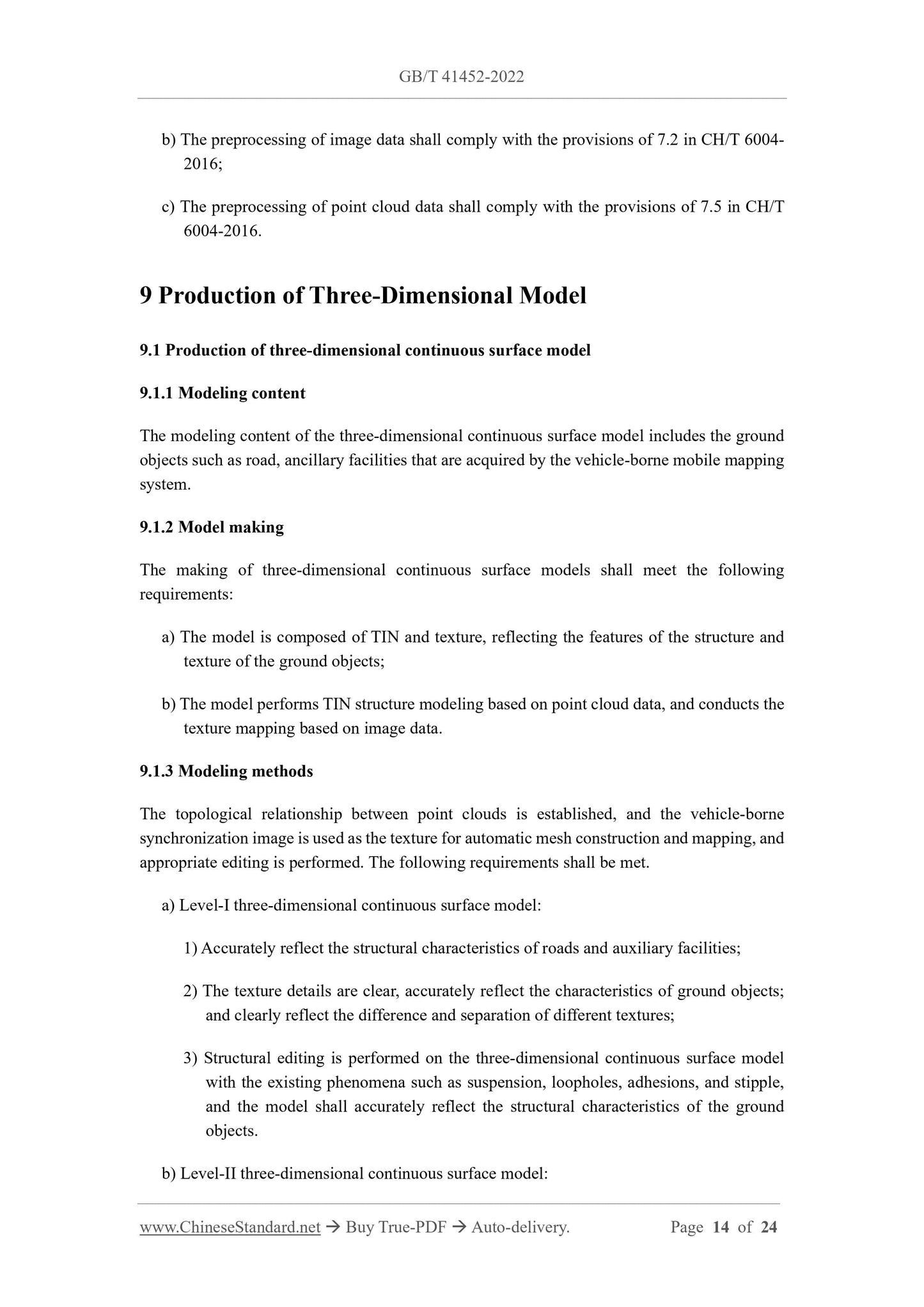
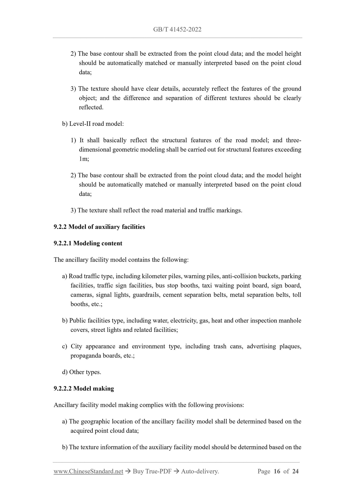
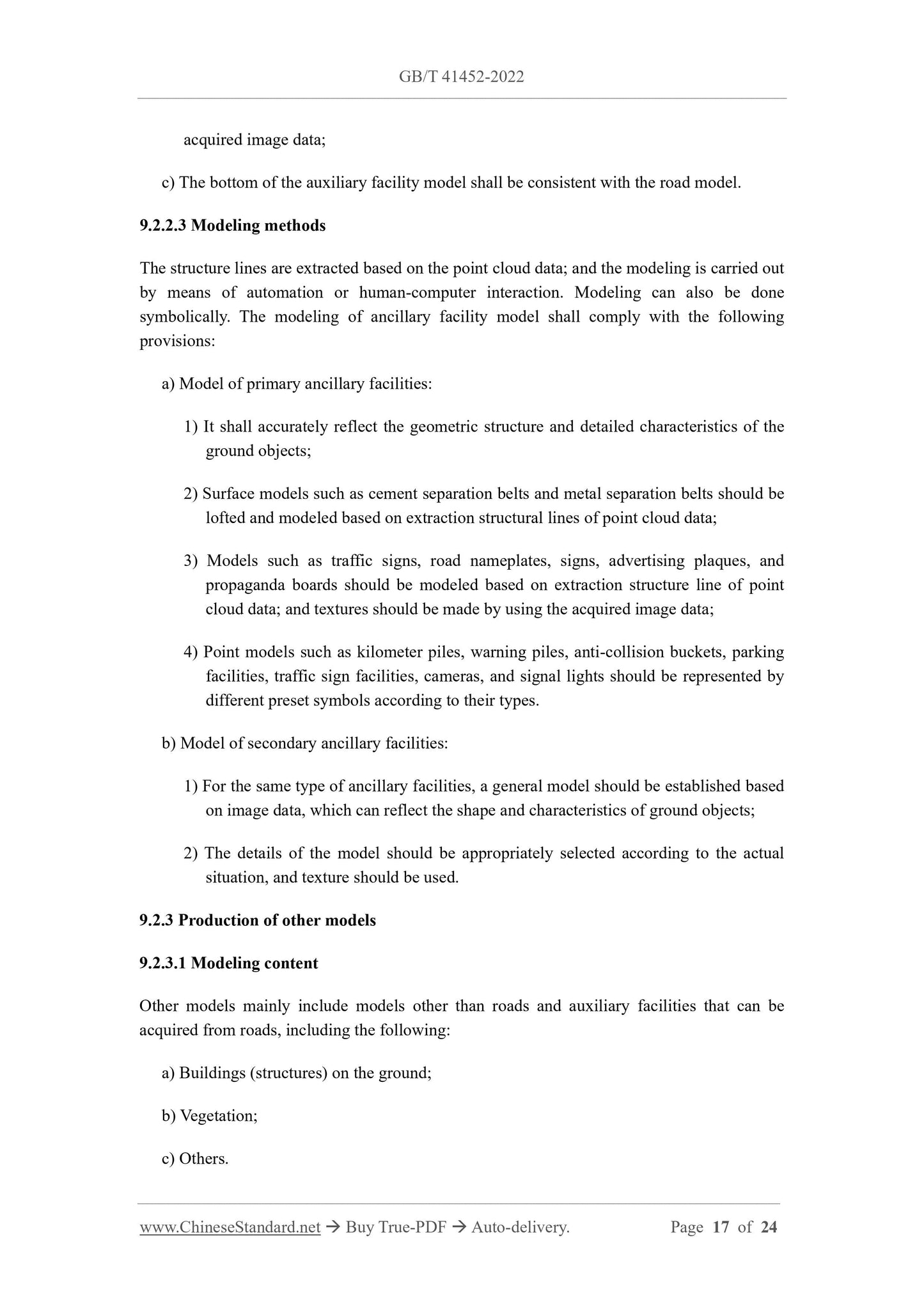
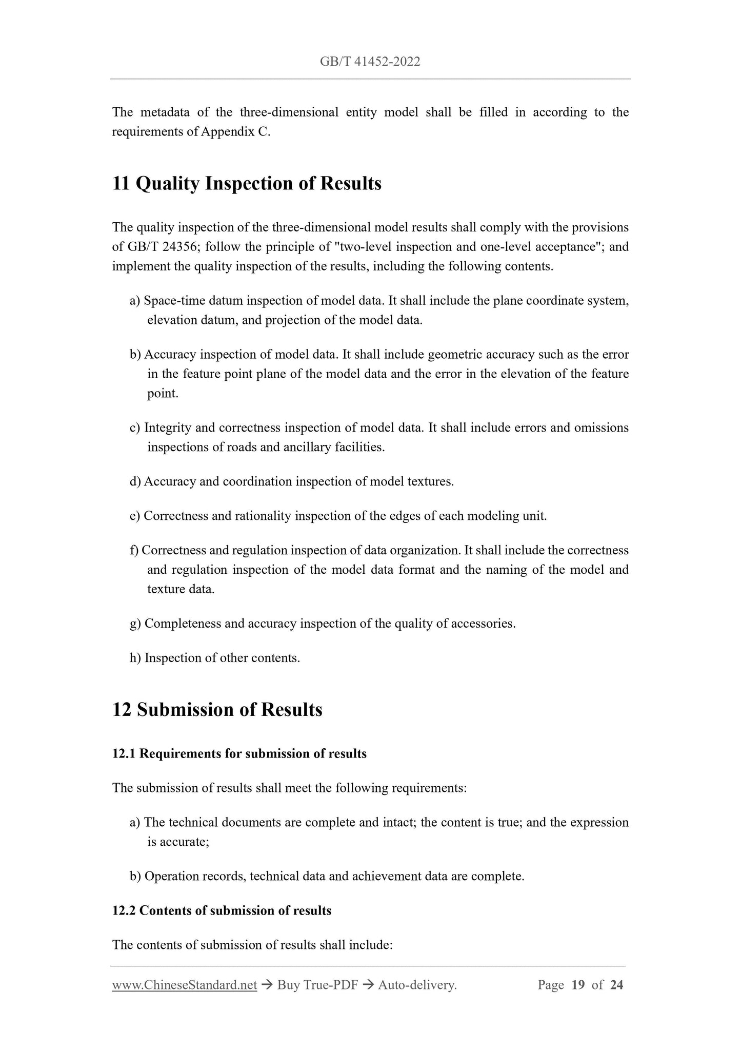
Preview True-PDF (Reload/Scroll if blank)

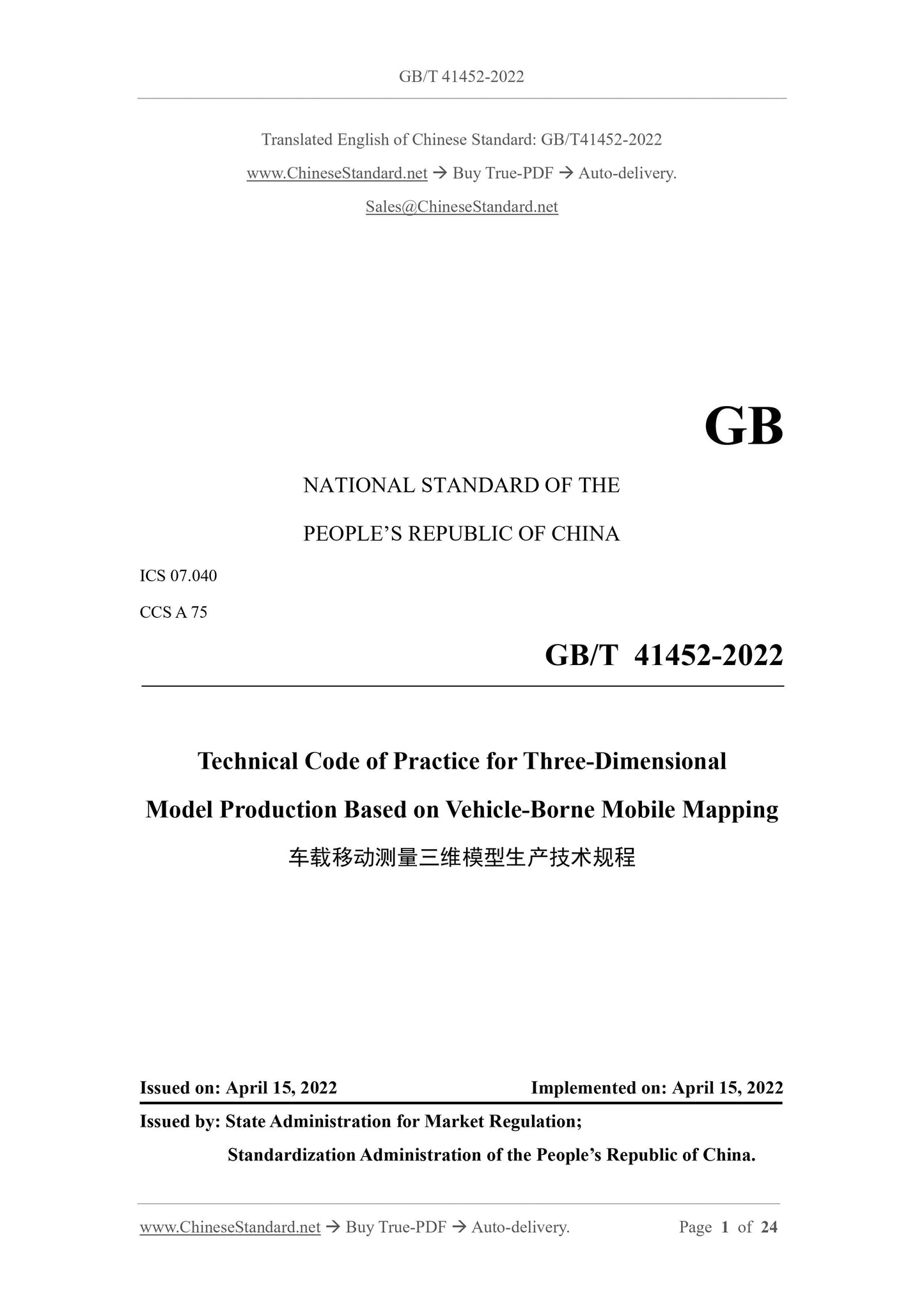
GB/T 41452-2022: Technical code of practice for three-dimensional model production based on vehicle-borne mobile mapping
GB/T 41452-2022
NATIONAL STANDARD OF THE
PEOPLE’S REPUBLIC OF CHINA
ICS 07.040
CCS A 75
Technical Code of Practice for Three-Dimensional
Model Production Based on Vehicle-Borne Mobile Mapping
ISSUED ON: APRIL 15, 2022
IMPLEMENTED ON: APRIL 15, 2022
Issued by: State Administration for Market Regulation;
Standardization Administration of the People’s Republic of China.
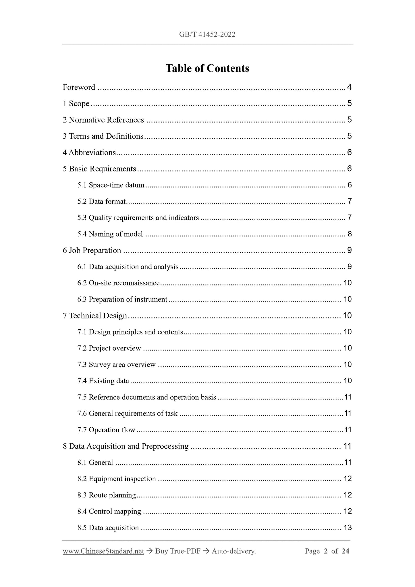
Table of Contents
Foreword ... 4
1 Scope ... 5
2 Normative References ... 5
3 Terms and Definitions ... 5
4 Abbreviations ... 6
5 Basic Requirements ... 6
5.1 Space-time datum ... 6
5.2 Data format ... 7
5.3 Quality requirements and indicators ... 7
5.4 Naming of model ... 8
6 Job Preparation ... 9
6.1 Data acquisition and analysis ... 9
6.2 On-site reconnaissance ... 10
6.3 Preparation of instrument ... 10
7 Technical Design ... 10
7.1 Design principles and contents ... 10
7.2 Project overview ... 10
7.3 Survey area overview ... 10
7.4 Existing data ... 10
7.5 Reference documents and operation basis ... 11
7.6 General requirements of task ... 11
7.7 Operation flow ... 11
8 Data Acquisition and Preprocessing ... 11
8.1 General ... 11
8.2 Equipment inspection ... 12
8.3 Route planning ... 12
8.4 Control mapping ... 12
8.5 Data acquisition ... 13
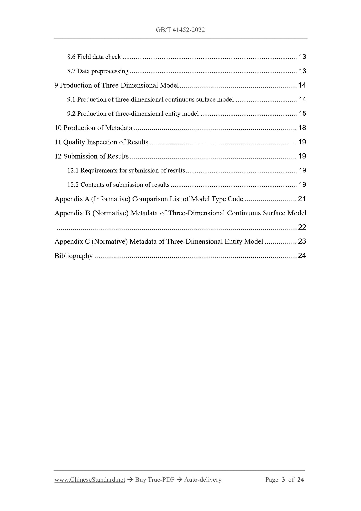
8.6 Field data check ... 13
8.7 Data preprocessing ... 13
9 Production of Three-Dimensional Model ... 14
9.1 Production of three-dimensional continuous surface model ... 14
9.2 Production of three-dimensional entity model ... 15
10 Production of Metadata ... 18
11 Quality Inspection of Results ... 19
12 Submission of Results ... 19
12.1 Requirements for submission of results ... 19
12.2 Contents of submission of results ... 19
Appendix A (Informative) Comparison List of Model Type Code ... 21
Appendix B (Normative) Metadata of Three-Dimensional Continuous Surface Model
... 22
Appendix C (Normative) Metadata of Three-Dimensional Entity Model ... 23
Bibliography ... 24
Technical Code of Practice for Three-Dimensional
Model Production Based on Vehicle-Borne Mobile Mapping
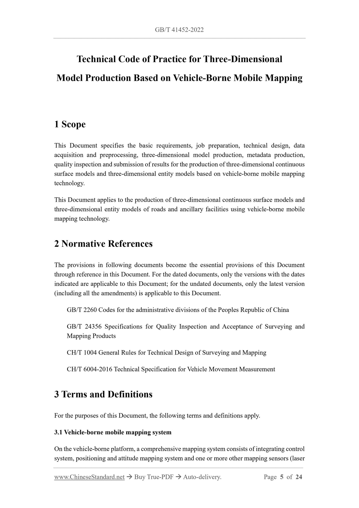
1 Scope
This Document specifies the basic requirements, job preparation, technical design, data
acquisition and preprocessing, three-dimensional model production, metadata production,
quality inspection and submission of results for the production of three-dimensional continuous
surface models and three-dimensional entity models based on vehicle-borne mobile mapping
technology.
This Document applies to the production of three-dimensional continuous surface models and
three-dimensional entity models of roads and ancillary facilities using vehicle-borne mobile
mapping technology.
2 Normative References
The provisions in following documents become the essential provisions of this Document
through reference in this Document. For the dated documents, only the versions with the dates
indicated are applicable to this Document; for the undated documents, only the latest version
(including all the amendments) is applicable to this Document.
GB/T 2260 Codes for the administrative divisions of the Peoples Republic of China
GB/T 24356 Specifications for Quality Inspection and Acceptance of Surveying and
Mapping Products
CH/T 1004 General Rules for Technical Design of Surveying and Mapping
CH/T 6004-2016 Technical Specification for Vehicle Movement Measurement
3 Terms and Definitions
For the purposes of this Document, the following terms and definitions apply.
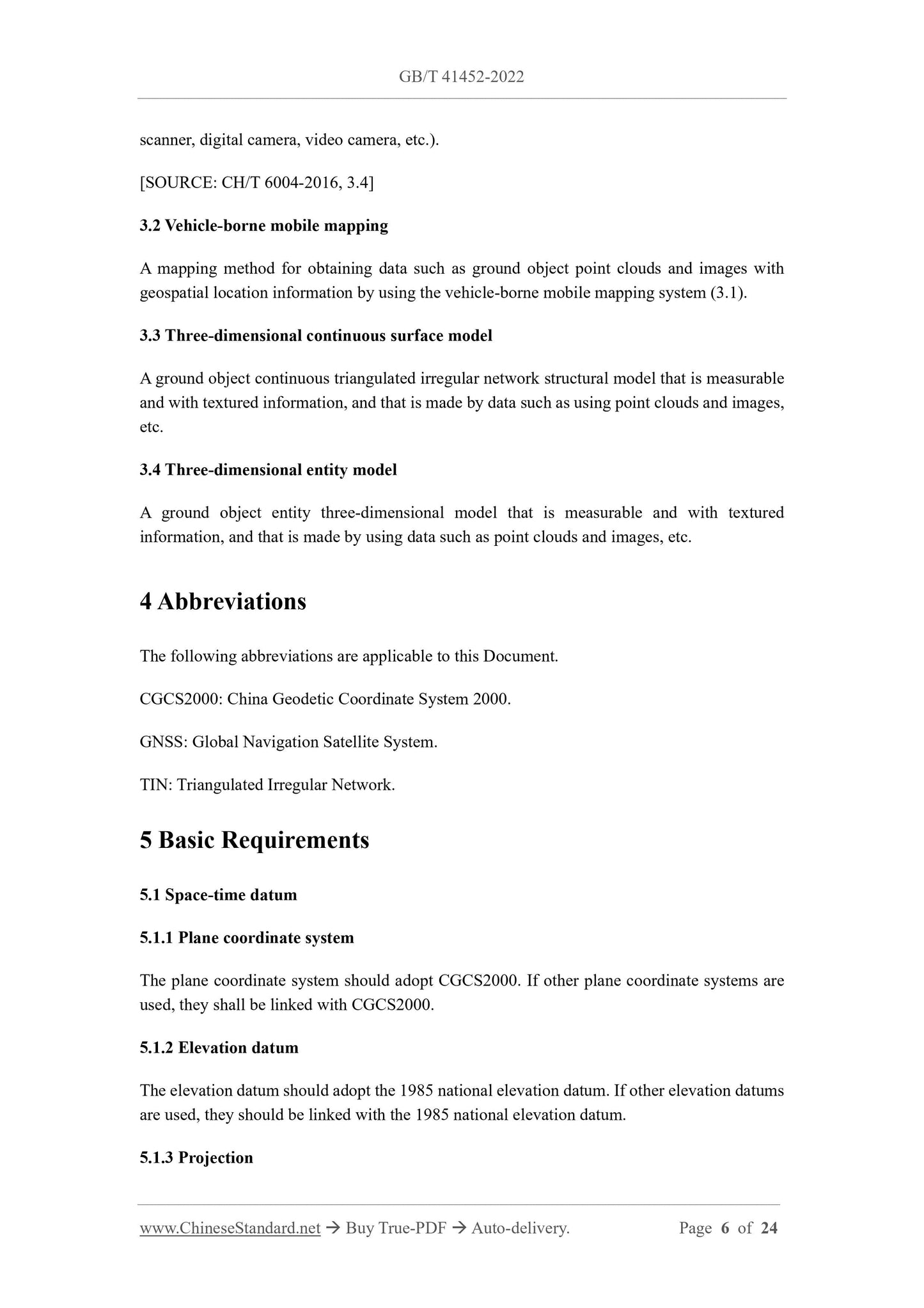
3.1 Vehicle-borne mobile mapping system
On the vehicle-borne platform, a comprehensive mapping system consists of integrating control
system, positioning and attitude mapping system and one or more other mapping sensors (laser
scanner, digital camera, video camera, etc.).
[SOURCE: CH/T 6004-2016, 3.4]
3.2 Vehicle-borne mobile mapping
A mapping method for obtaining data such as ground object point clouds and images with
geospatial location information by using the vehicle-borne mobile mapping system (3.1).
3.3 Three-dimensional continuous surface model
A ground object continuous triangulated irregular network structural model that is measurable
and with textured information, and that is made by data such as using point clouds and images,
etc.
3.4 Three-dimensional entity model
A ground object entity three-dimensional model that is measurable and with textured
information, and that is made by using data such as point clouds and images, etc.
4 Abbreviations
The following abbreviations are applicable to this Document.
CGCS2000: China Geodetic Coordinate System 2000.
GNSS: Global Navigation Satellite System.
TIN: Triangulated Irregular Network.
5 Basic Requirements
5.1 Space-time datum
5.1.1 Plane coordinate system
The plane coordinate system should adopt CGCS2000. If other plane coordinate systems are
used, they shall be linked with CGCS2000.
5.1.2 Elevation datum
The elevation datum should adopt the 1985 national elevation datum. If other elevation datums
are used, they should be linked with the 1985 national elevation datum.
5.1.3 Projection
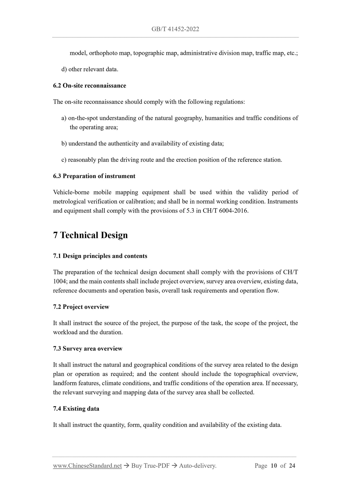
model, orthophoto map, topographic map, administrative division map, traffic map, etc.;
d) other relevant data.
6.2 On-site reconnaissance
The on-site reconnaissance should comply with the following regulations:
a) on-the-spot understanding of the natural geography, humanities and traffic conditions of
the operating area;
b) understand the authenticity and availability of existing data;
c) reasonably plan the driving route and the erection position of the reference station.
6.3 Preparation of instrument
Vehicle-borne mobile mapping equipment shall be used within the validity period of
metrological verification or calibration; and shall be in normal working condition. Instruments
and equipment shall comply with the provisions of 5.3 in CH/T 6004-2016.
7 Technical Design
7.1 Design principles and contents
The preparation of the technical design document shall comply with the provisions of CH/T
1004; and the main contents shall include project overview, survey area overview, existing data,
reference documents and operation basis, overall task requirements and operation flow.
7.2 Project overview
It shall instruct the source of the project, the purpose of the task, the scope of the project, the
workload and the duration.
7.3 Survey area overview
It shall instruct the natural and geographical conditions of the survey area related to the design
plan or operation as required; and the content should include the topographical overview,
landform features, climate conditions, and traffic conditions of the operation area. If necessary,
the relevant surveying and mapping data of the survey area shall be collected.
7.4 Existing data
It shall instruct the quantity, form, quality condition and availability of the existing data.
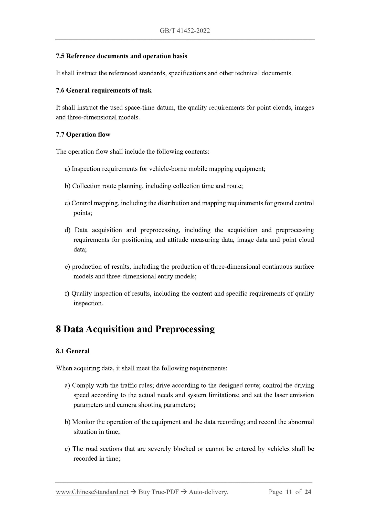
7.5 Reference documents and operation basis
It shall instruct the referenced standards, specifications and other technical documents.
7.6 General requirements of task
It shall instruct the used space-time datum, the quality requirements for point clouds, images
and three-dimensional models.
7.7 Operation flow
The operation flow shall include the following contents:
a) Inspection requirements for vehicle-borne mobile mapping equipment;
b) Collection route planning, including collection time and route;
c) Control mapping, including the distribution and mapping requirements for ground control
View full details