Skip to product information
1 of 11

www.ChineseStandard.us -- Field Test Asia Pte. Ltd.

GB/T 35641-2017 English PDF (GB/T35641-2017)

GB/T 35641-2017 English PDF (GB/T35641-2017)

Regular price $150.00
Regular price Sale price $150.00
Sale Sold out
Shipping calculated at checkout.
GB/T 35641-2017: Basic requirements for engineering surveying and mapping
Delivery: 9 seconds. Download (& Email) true-PDF + Invoice.
Get Quotation: Click GB/T 35641-2017 (Self-service in 1-minute)
Historical versions (Master-website): GB/T 35641-2017
Preview True-PDF (Reload/Scroll-down if blank)

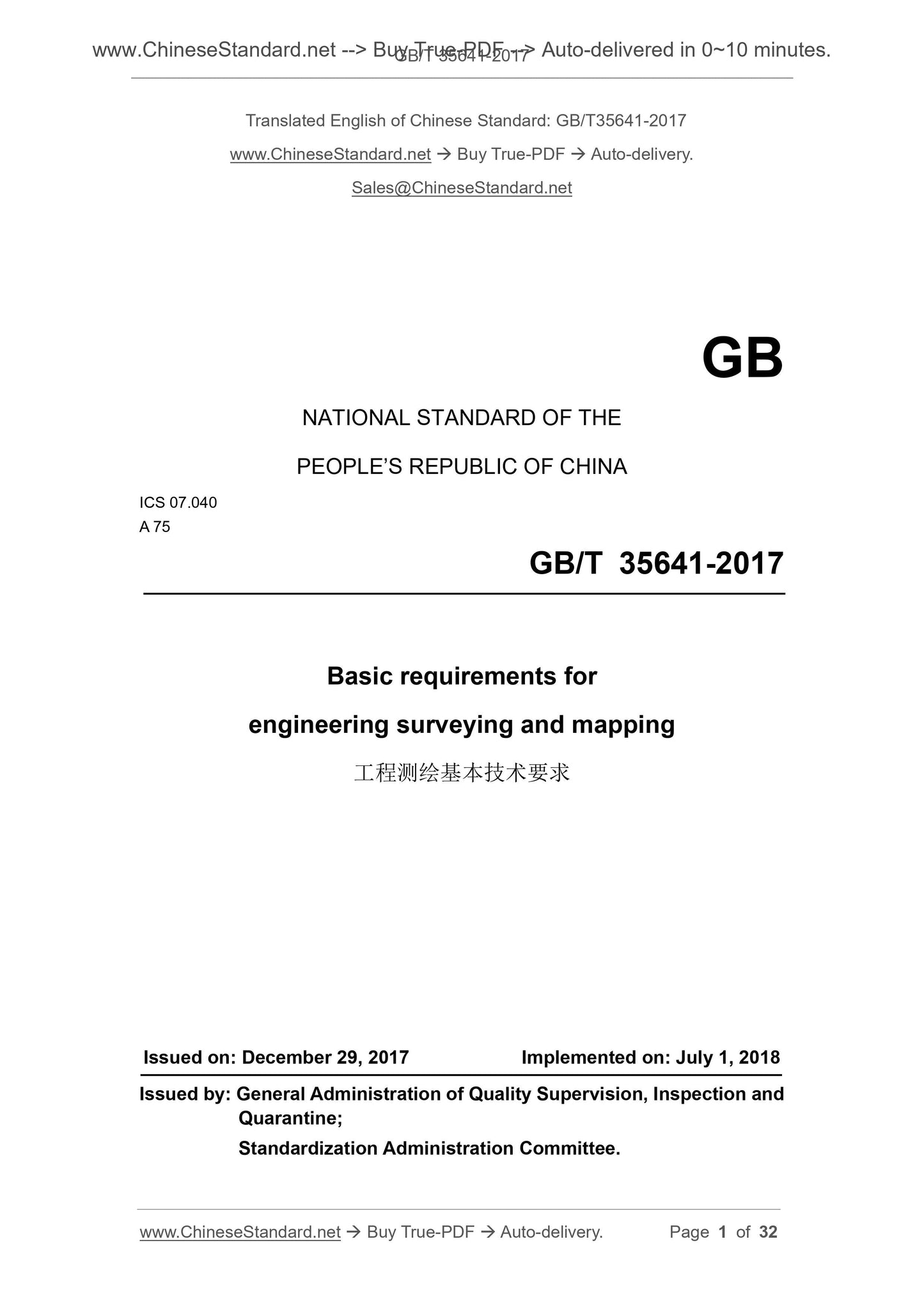
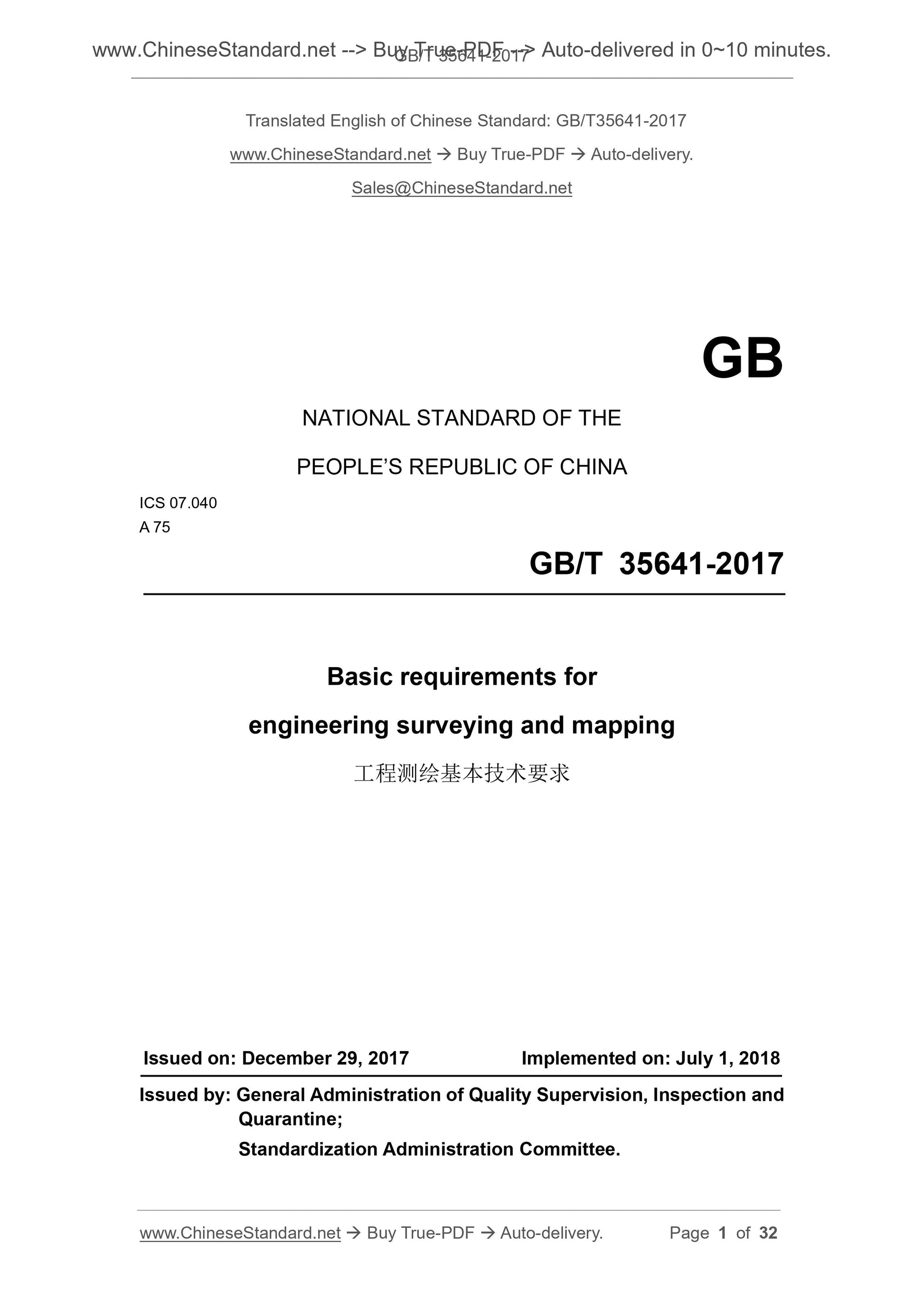
GB/T 35641-2017
GB
NATIONAL STANDARD OF THE
PEOPLE’S REPUBLIC OF CHINA
ICS 07.040
A 75
Basic requirements for
engineering surveying and mapping
ISSUED ON. DECEMBER 29, 2017
IMPLEMENTED ON. JULY 1, 2018
Issued by. General Administration of Quality Supervision, Inspection and
Quarantine;
Standardization Administration Committee.
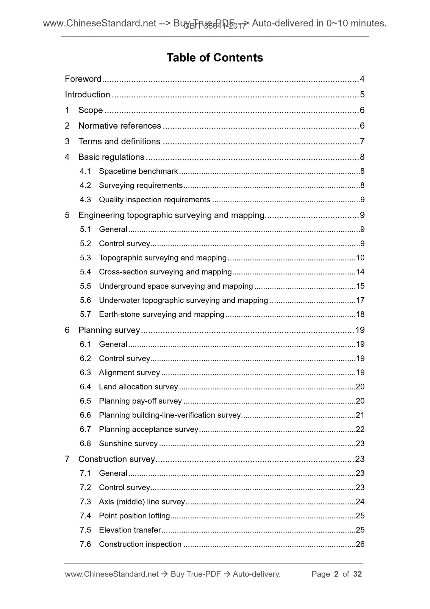
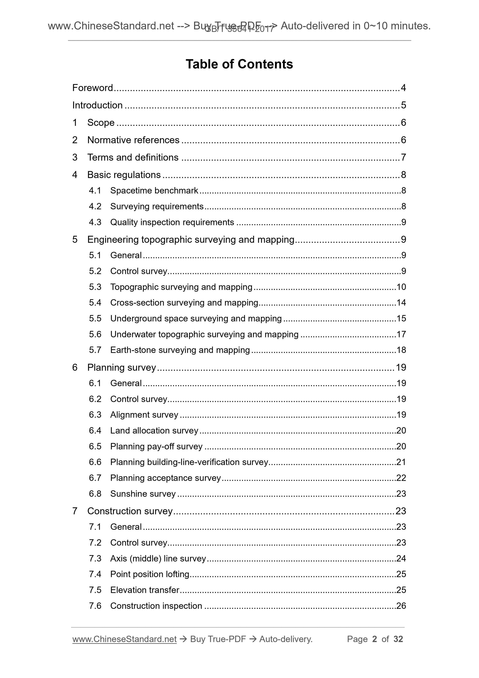
Table of Contents
Foreword ... 4 
Introduction ... 5 
1 Scope ... 6 
2 Normative references ... 6 
3 Terms and definitions ... 7 
4 Basic regulations ... 8 
4.1 Spacetime benchmark ... 8 
4.2 Surveying requirements ... 8 
4.3 Quality inspection requirements ... 9 
5 Engineering topographic surveying and mapping ... 9 
5.1 General ... 9 
5.2 Control survey... 9 
5.3 Topographic surveying and mapping ... 10 
5.4 Cross-section surveying and mapping ... 14 
5.5 Underground space surveying and mapping ... 15 
5.6 Underwater topographic surveying and mapping ... 17 
5.7 Earth-stone surveying and mapping ... 18 
6 Planning survey ... 19 
6.1 General ... 19 
6.2 Control survey... 19 
6.3 Alignment survey ... 19 
6.4 Land allocation survey ... 20 
6.5 Planning pay-off survey ... 20 
6.6 Planning building-line-verification survey ... 21 
6.7 Planning acceptance survey ... 22 
6.8 Sunshine survey ... 23 
7 Construction survey ... 23 
7.1 General ... 23 
7.2 Control survey... 23 
7.3 Axis (middle) line survey ... 24 
7.4 Point position lofting... 25 
7.5 Elevation transfer ... 25 
7.6 Construction inspection ... 26 
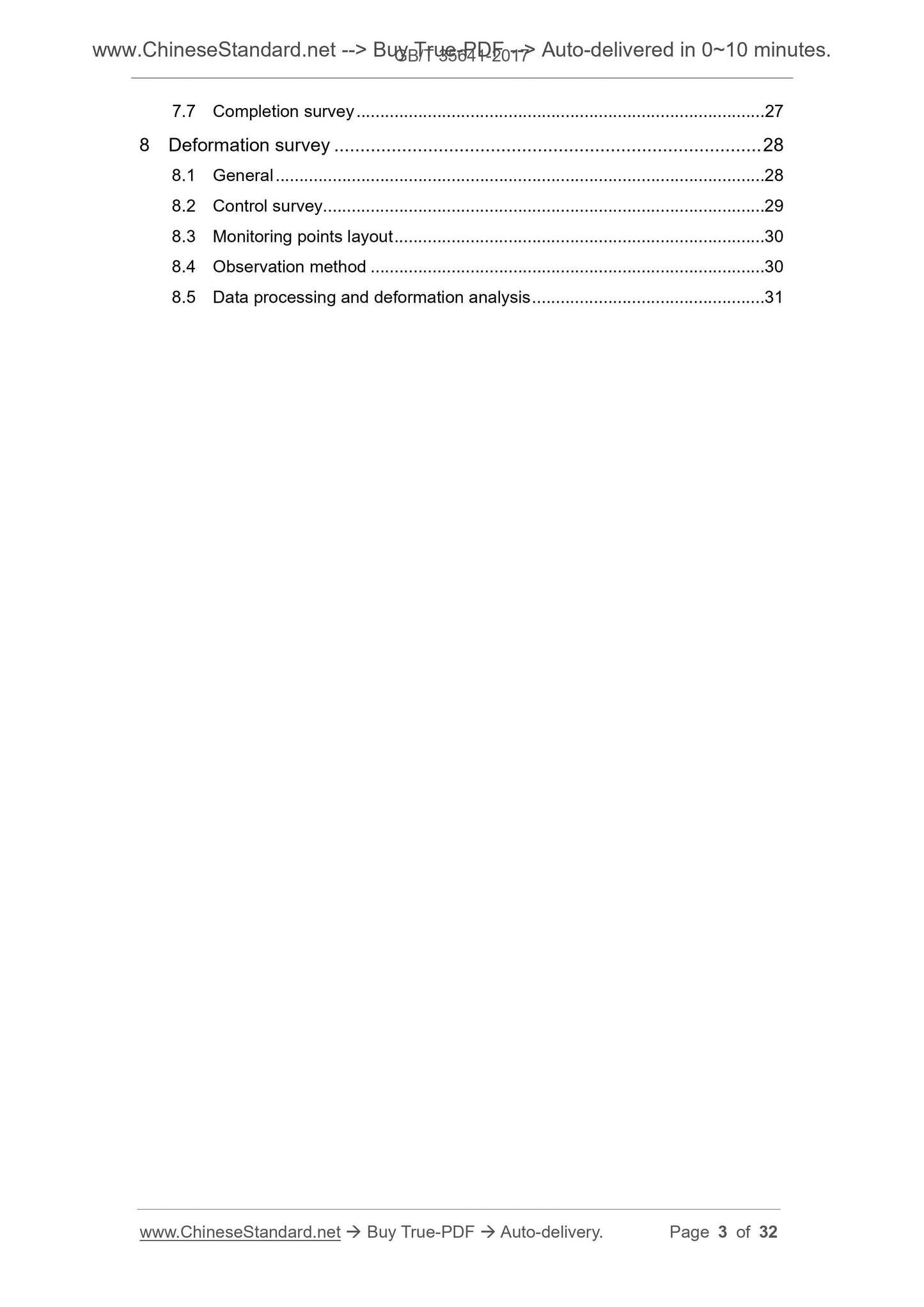
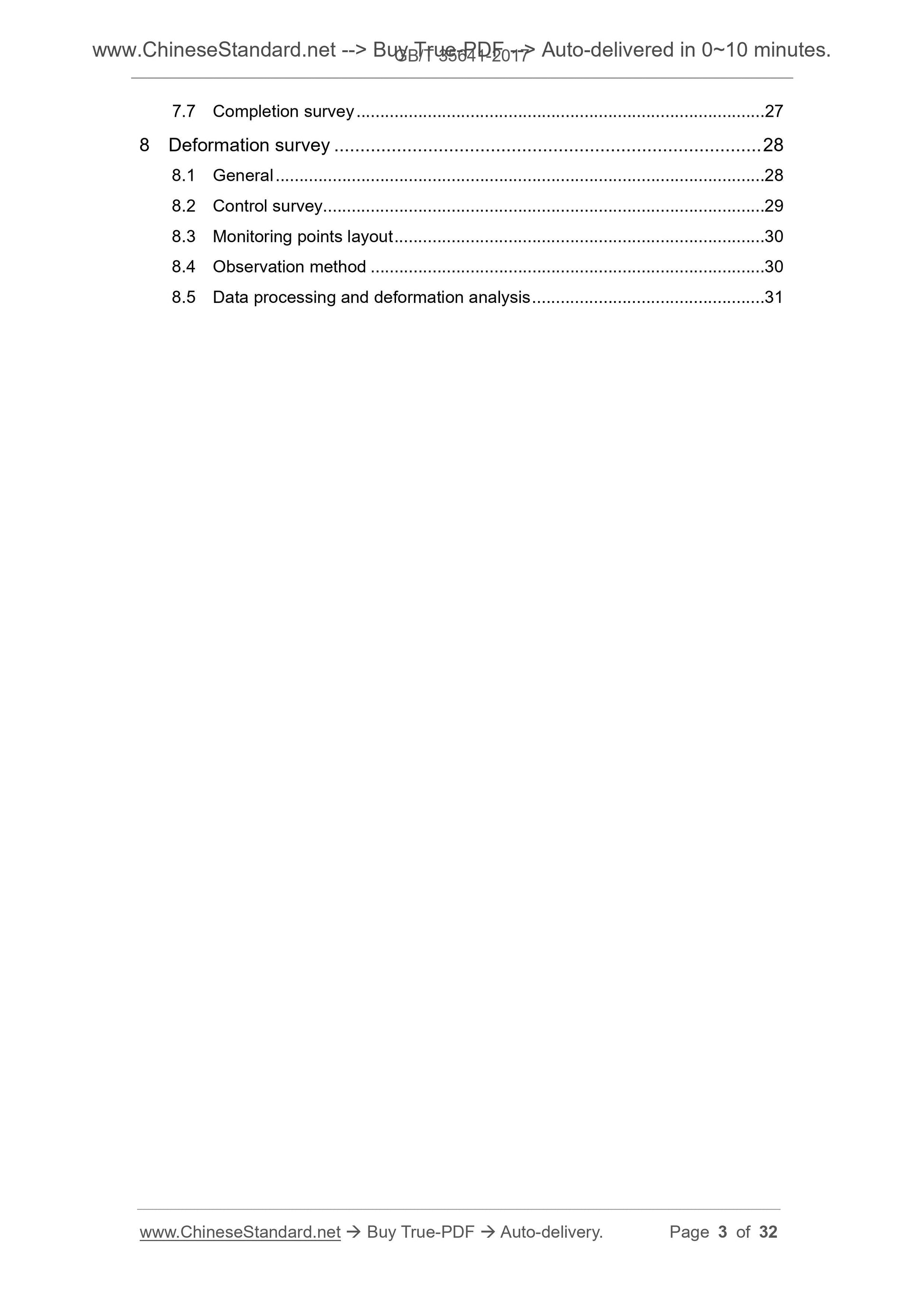
7.7 Completion survey ... 27 
8 Deformation survey ... 28 
8.1 General ... 28 
8.2 Control survey... 29 
8.3 Monitoring points layout ... 30 
8.4 Observation method ... 30 
8.5 Data processing and deformation analysis ... 31 
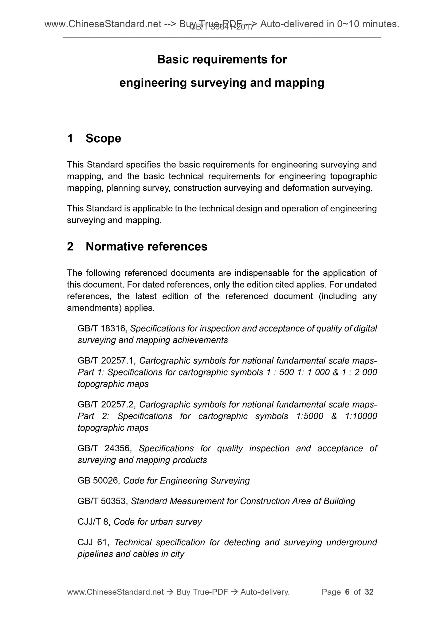
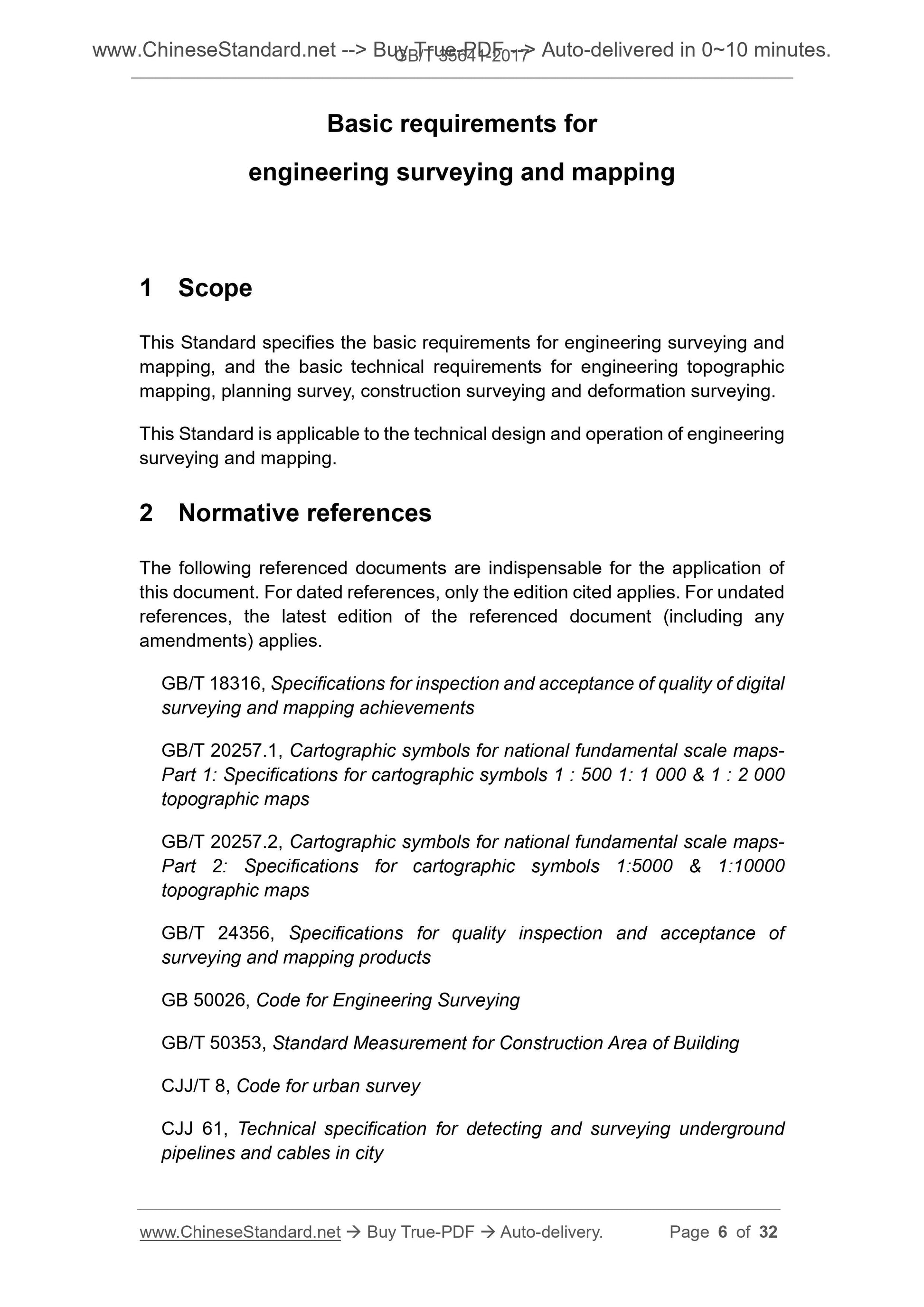
Basic requirements for
engineering surveying and mapping
1 Scope
This Standard specifies the basic requirements for engineering surveying and
mapping, and the basic technical requirements for engineering topographic
mapping, planning survey, construction surveying and deformation surveying.
This Standard is applicable to the technical design and operation of engineering
surveying and mapping.
2 Normative references
The following referenced documents are indispensable for the application of
this document. For dated references, only the edition cited applies. For undated
references, the latest edition of the referenced document (including any
amendments) applies.
GB/T 18316, Specifications for inspection and acceptance of quality of digital
surveying and mapping achievements
GB/T 20257.1, Cartographic symbols for national fundamental scale maps-
Part 1. Specifications for cartographic symbols 1 . 500 1. 1 000 and 1 . 2 000
topographic maps
GB/T 20257.2, Cartographic symbols for national fundamental scale maps-
Part 2. Specifications for cartographic symbols 1.5000 and 1.10000
topographic maps
GB/T 24356, Specifications for quality inspection and acceptance of
surveying and mapping products
GB 50026, Code for Engineering Surveying
GB/T 50353, Standard Measurement for Construction Area of Building
CJJ/T 8, Code for urban survey
CJJ 61, Technical specification for detecting and surveying underground
pipelines and cables in city
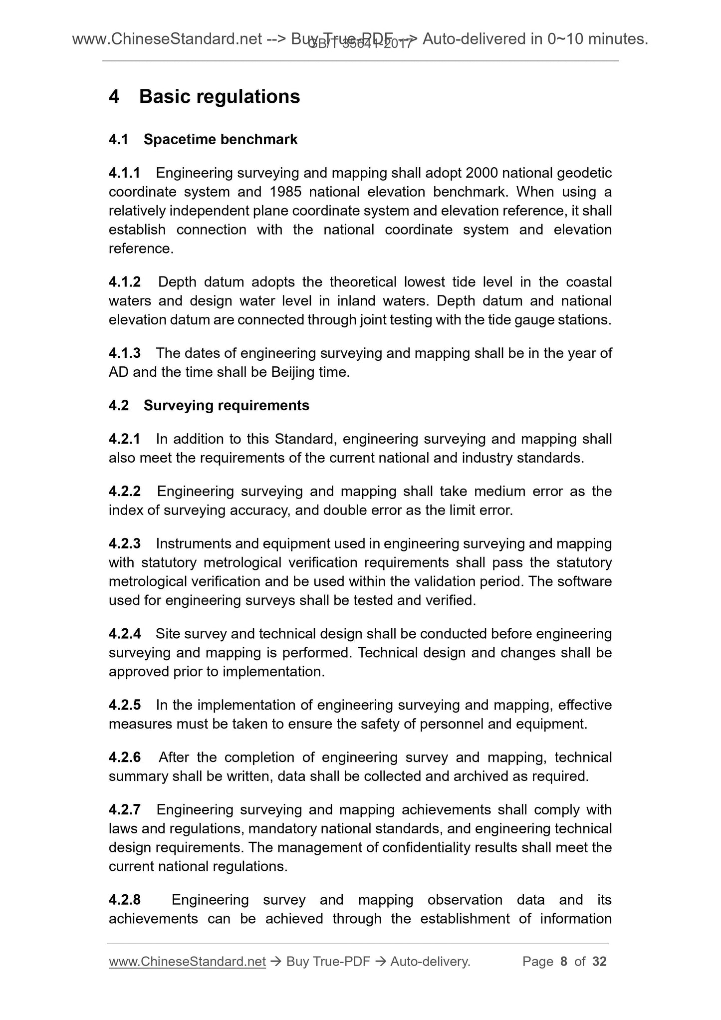
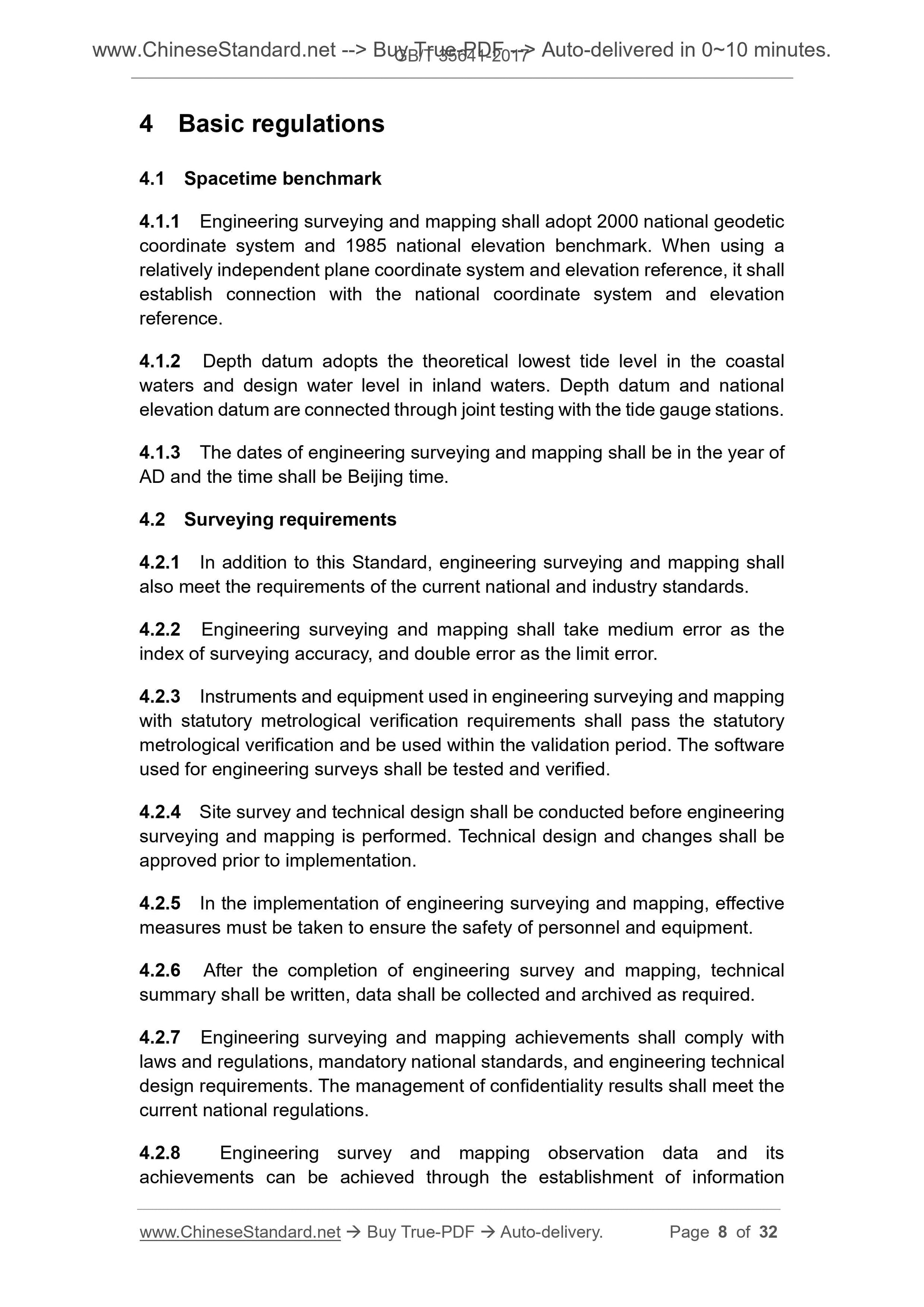
4 Basic regulations
4.1 Spacetime benchmark
4.1.1 Engineering surveying and mapping shall adopt 2000 national geodetic
coordinate system and 1985 national elevation benchmark. When using a
relatively independent plane coordinate system and elevation reference, it shall
establish connection with the national coordinate system and elevation
reference.
4.1.2 Depth datum adopts the theoretical lowest tide level in the coastal
waters and design water level in inland waters. Depth datum and national
elevation datum are connected through joint testing with the tide gauge stations.
4.1.3 The dates of engineering surveying and mapping shall be in the year of
AD and the time shall be Beijing time.
4.2 Surveying requirements
4.2.1 In addition to this Standard, engineering surveying and mapping shall
also meet the requirements of the current national and industry standards.
4.2.2 Engineering surveying and mapping shall take medium error as the
index of surveying accuracy, and double error as the limit error.
4.2.3 Instruments and equipment used in engineering surveying and mapping
with statutory metrological verification requirements shall pass the statutory
metrological verification and be used within the validation period. The software
used for engineering surveys shall be tested and verified.
4.2.4 Site survey and technical design shall be conducted before engineering
surveying and mapping is performed. Technical design and changes shall be
approved prior to implementation.
4.2.5 In the implementation of engineering surveying and mapping, effective
measures must be taken to ensure the safety of personnel and equipment.
4.2.6 After the completion of engineering survey and mapping, technical
summary shall be written, data shall be collected and archived as required.
4.2.7 Engineering surveying and mapping achievements shall comply with
laws and regulations, mandatory national standards, and engineering technical
design requirements. The management of confidentiality results shall meet the
current national regulations.
4.2.8 Engineering survey and mapping observation data and its
achievements can be achieved through the establishment of information
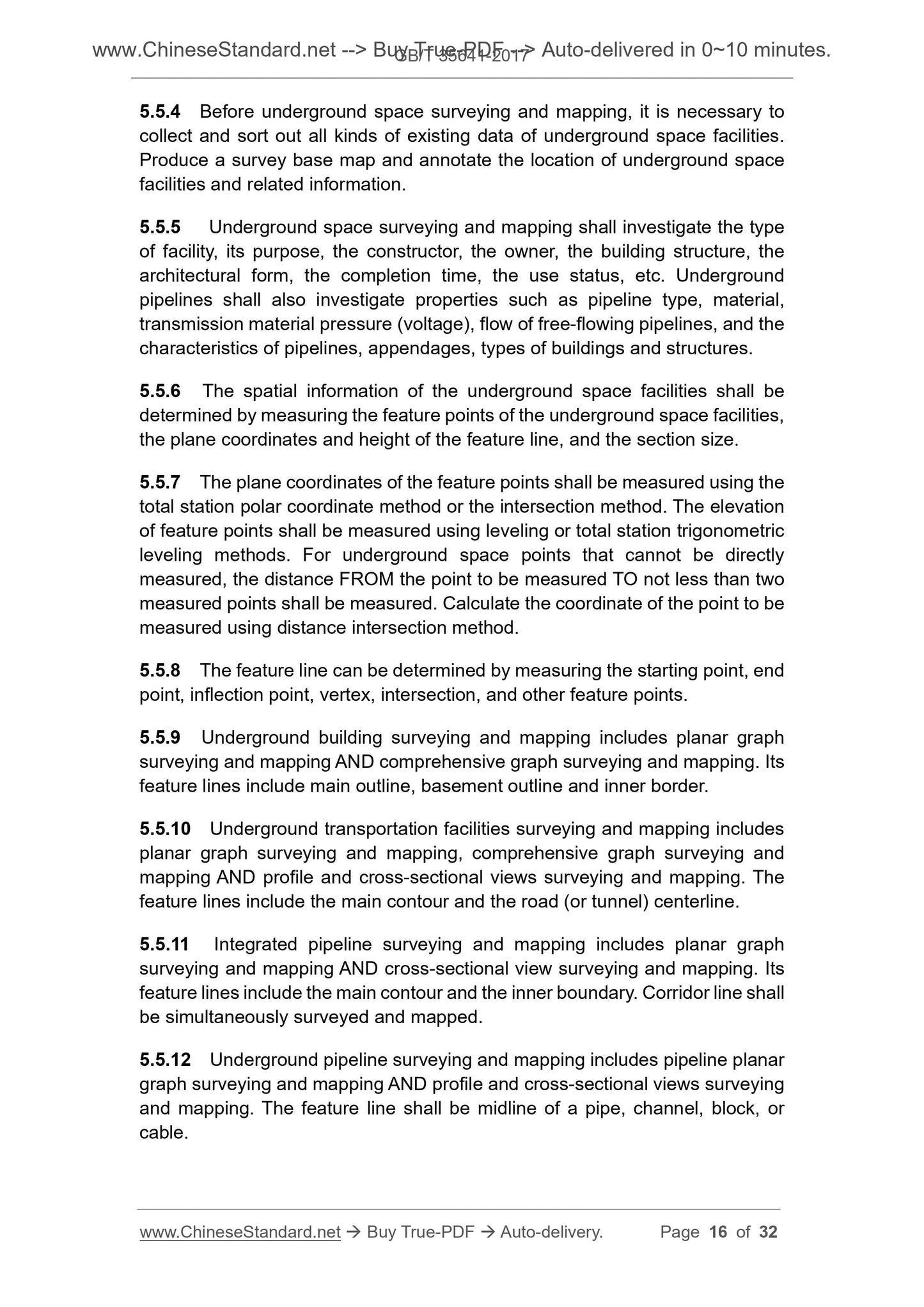
5.5.4 Before underground space surveying and mapping, it is necessary to
collect and sort out all kinds of existing data of underground space facilities.
Produce a survey base map and annotate the location of underground space
facilities and related information.
5.5.5 Underground space surveying and mapping shall investigate the type
of facility, its purpose, the constructor, the owner, the building structure, the
architectural form, the completion time, the use status, etc. Underground
pipelines shall also investigate properties such as pipeline type, material,
transmission material pressure (voltage), flow of free-flowing pipelines, and the
characteristics of pipelines, appendages, types of buildings and structures.
5.5.6 The spatial information of the underground space facilities shall be
determined by measuring the feature points of the underground space facilities,
the plane coordinates and height of the feature line, and the section size.
5.5.7 The plane coordinates of the feature points shall be measured using the
total station polar coordinate method or the intersection method. The elevation
of feature points shall be measured using leveling or total station trigonometric
leveling methods. For underground space points that cannot be directly
measured, the distance FROM the point to be measured TO not less than two
measured points shall be measured. Calculate the coordinate of the point to be
measured using distance intersection method.
5.5.8 The feature line can be determined by measuring the starting point, end
point, inflection point, vertex, intersection, and other feature points.
5.5.9 Underground building surveying and mapping includes planar graph
surveying and mapping AND comprehensive graph surveying and mapping. Its
feature lines include main outline, basement outline and inner border.
5.5.10 Underground transportation facilities surveying and mapping includes
planar graph surveying and mapping, comprehensive graph surveying and
mapping AND profile and cross-sectional views surveying and mapping. The
feature lines include the main contour and the road (or tunnel) centerline.
5.5.11 Integrated pipeline surveying and mapping includes planar graph
surveying and mapping AND cross-sectional view surveying and mapping. Its
feature lines include the main contour and the inner boundary. Corridor line shall
be simultaneously surveyed and mapped.
5.5.12 Underground pipeline surveying and mapping includes pipeline planar
graph surveying and mapping AND profile and cross-sectional views surveying
and mapping. The feature line shall be midline of a pipe, channel, block, or
cable.
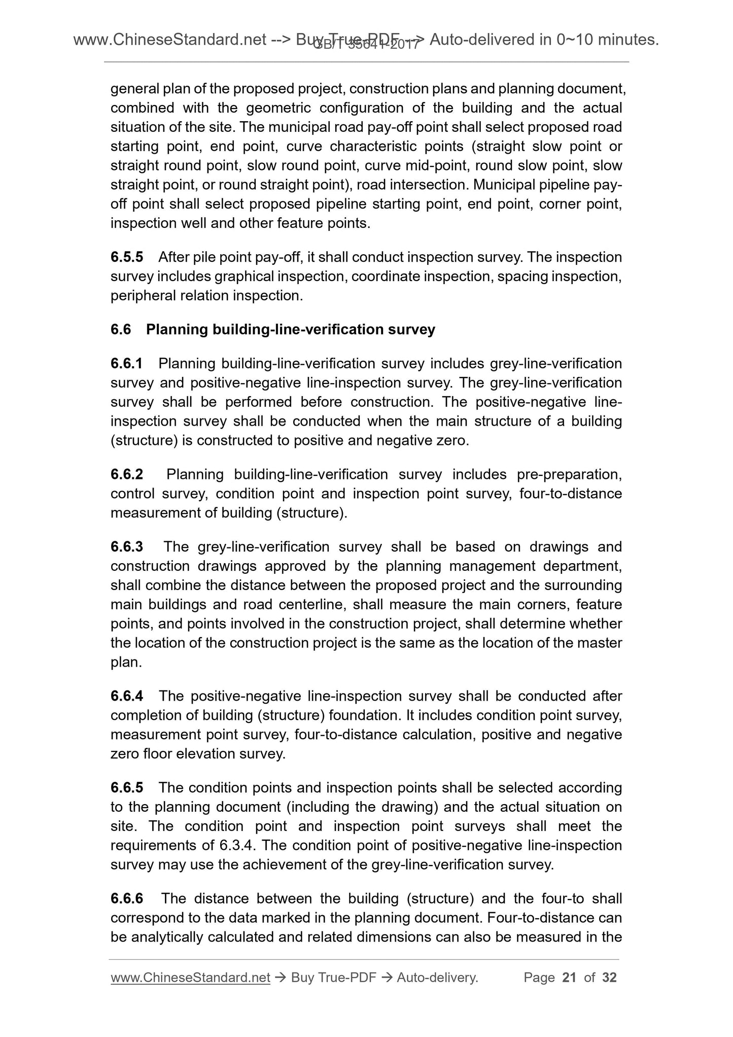
general plan of the proposed project, construction plans and planning document,
combined with the geometric configuration of the building and the actual
situation of the site. The municipal road pay-off point shall select proposed road
starting point, end point, curve characteristic points (straight slow point or
straight round point, slow round point, curve mid-point, round slow point, slow
straight point, or round straight point), road intersection. Municipal pipeline pay-
off point shall select proposed pipeline starting point, end point, corner point,
inspection well and other feature points.
6.5.5 After pile point pay-off, it shall conduct inspection survey. The inspection
survey includes graphical inspection, coordinate inspection, spacing inspection,
peripheral relation inspection.
6.6 Planning building-line-verification survey
6.6.1 Planning building-line-verification survey includes grey-line-verification
survey and positive-negative line-inspection survey. The grey-line-verification
survey shall be performed before construction. The positive-negative line-
inspection survey shall be conducted when the main structure of a building
(structure) is constructed to positive and negative zero.
6.6.2 Planning building-line-verification survey includes pre-preparation,
control survey, condition point and inspection point survey, four-to-distance
measurement of building (structure).
6.6.3 The grey-line-verification survey shall be based on drawings and
construction drawings approved by the planning management department,
shall combine the distance between the proposed project and the surrounding
main buildings and road centerline, shall measure the main corners, feature
points, and points involved in the construction project, shall determine whether
the location of the construction project is the same as the location of the master
plan.
6.6.4 The positive-negative line-inspection survey shall be conducted after
completion of building (structure) foundation. It includes condition point survey,
measurement point survey, four-to-distance calculation, positive and negative
zero floor elevation survey.
6.6.5 The condition points and inspection points shall be selected according
to the planning document (including the drawing) and the actual situation on
site. The condition point and inspection point surveys shall meet the
requirements of 6.3.4. The condition point of positive-negative line-inspection
survey may use the achievement of the grey-line-verification survey.
6.6.6 The distance between the building (structure) and the four-to shall
correspond to the data marked in the planning document. Four-to-distance can
be analytically calculated and related dimensions can also be measured in the
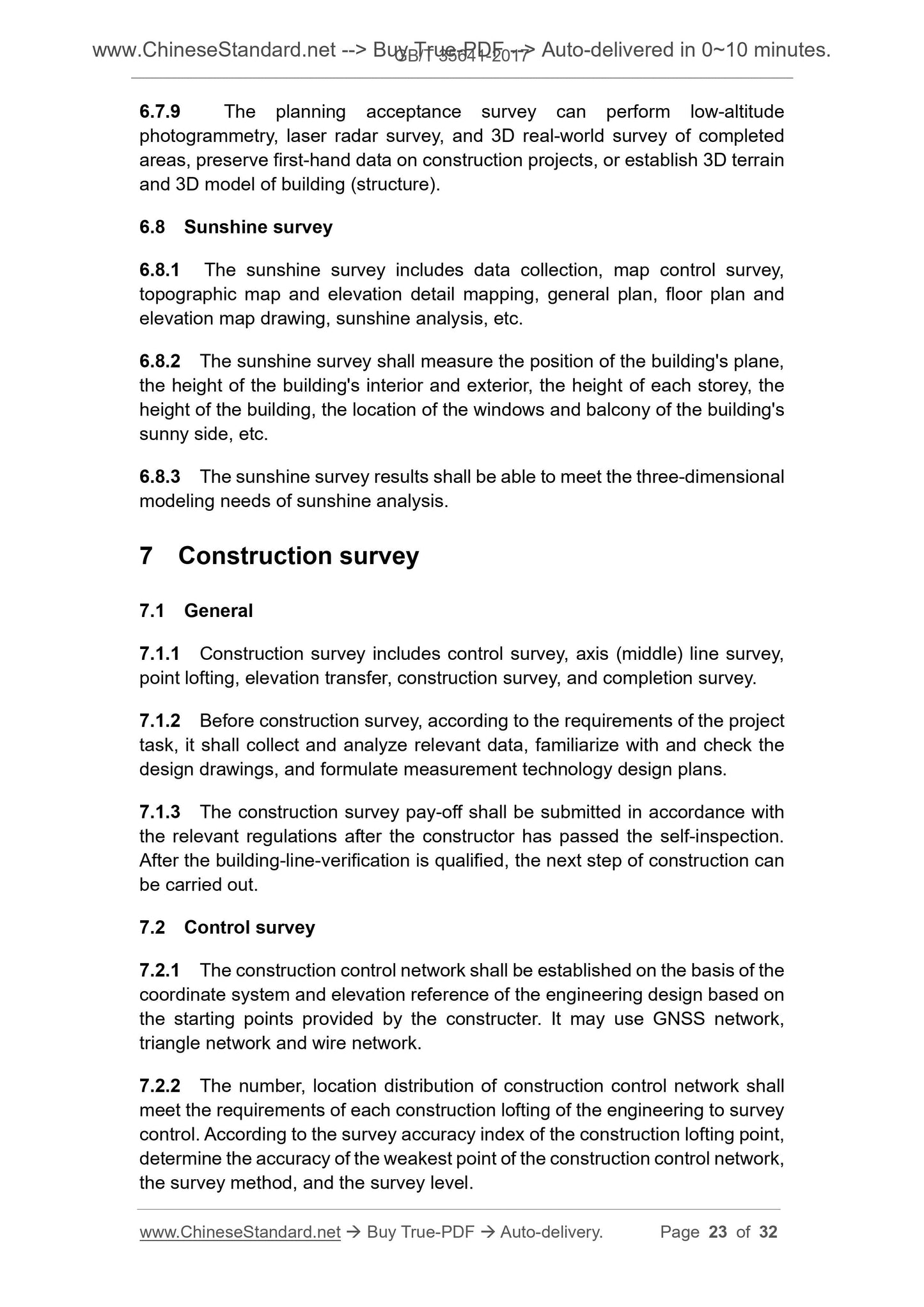
6.7.9 The planning acceptance survey can perform low-altitude
photogrammetry, laser radar survey, and 3D real-world survey of completed
areas, preserve first-hand data on construction projects, or establish 3D terrain
and 3D model of building (structure).
6.8 Sunshine survey
6.8.1 The sunshine survey includes data collection, map control survey,
topographic map and elevation detail mapping, general plan, floor plan and
elevation map drawing, sunshine analysis, etc.
6.8.2 The sunshine survey shall measure the position of the building's plane,
the height of the building's interior and exterior, the height of each storey, the
height of the building, the location of the windows and balcony of the building's
sunny side, etc.
6.8.3 The sunshine survey results shall be able to meet the three-dimensional
modeling needs of sunshine analysis.
7 Construction survey
7.1 General
7.1.1 Construction survey includes control survey, axis (middle) line survey,
point lofting, elevation transfer, construction survey, and completion survey.
7.1.2 Before construction survey, according to the requirements of the project
task, it shall collect and analyze relevant data, familiarize with and check the
design drawings, and formulate measurement technology design plans.
7.1.3 The construction survey pay-off shall be submitted in accordance with
the relevant regulations after the constructor has passed the self-inspection.
After the building-line-verification is qualified, the next step of construction can
be carried out.
7.2 Control survey
7.2.1 The construction control network shall be established on the basis of the
coordinate system and elevation reference of the engineering design based on
the starting points provided by the constructer. It may use GNSS network,
triangle network and wire network.
7.2.2 The number, location distribution of construction control network shall
meet the requirements of each construction lofting of the engineering to survey
control. According to the survey accuracy index of the construction lofting point,
determine the accuracy of the weakest point of the construction control network,
the survey method, and the survey level.
unit, the installation axis shall not be less than 3 points, and the elevation point
shall not be less than 2 points.
7.3.6 Line center piles include 100-meter piles and various piles. According to
the complex terrain conditions, the pile spacing in straight segments shall not
be more than 50 m. Pile spacing in curved section shall not be greater than 20
m. The longitudinal and lateral deviation of the centerline pile shall be less than
20mm and 15mm, respectively. After the completion of the survey, it shall be
reinforced, and the protection pile shall be established.
7.3.7 Check the midline data before inspection. Find out the problem and
promptly notify the designer to adjust. The middle line shall be set along the
middle line. When encountering obstacles or most of them falling into the water,
the middle line shall be parallel-shifted to the proper position. The axis station
number shall be converted to midline mileage.
7.3.8 The line middle line's co...
View full details