Skip to product information
1 of 12

PayPal, credit cards. Download editable-PDF and invoice in 1 second!

GB/T 12898-2009 English PDF (GBT12898-2009)

GB/T 12898-2009 English PDF (GBT12898-2009)

Regular price $500.00 USD
Regular price Sale price $500.00 USD
Sale Sold out
Shipping calculated at checkout.
Delivery: 3 seconds. Download true-PDF + Invoice.
Get QUOTATION in 1-minute: Click GB/T 12898-2009
Historical versions: GB/T 12898-2009
Preview True-PDF (Reload/Scroll if blank)

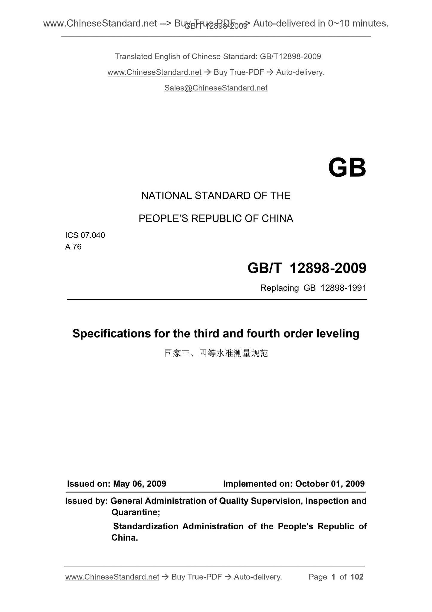
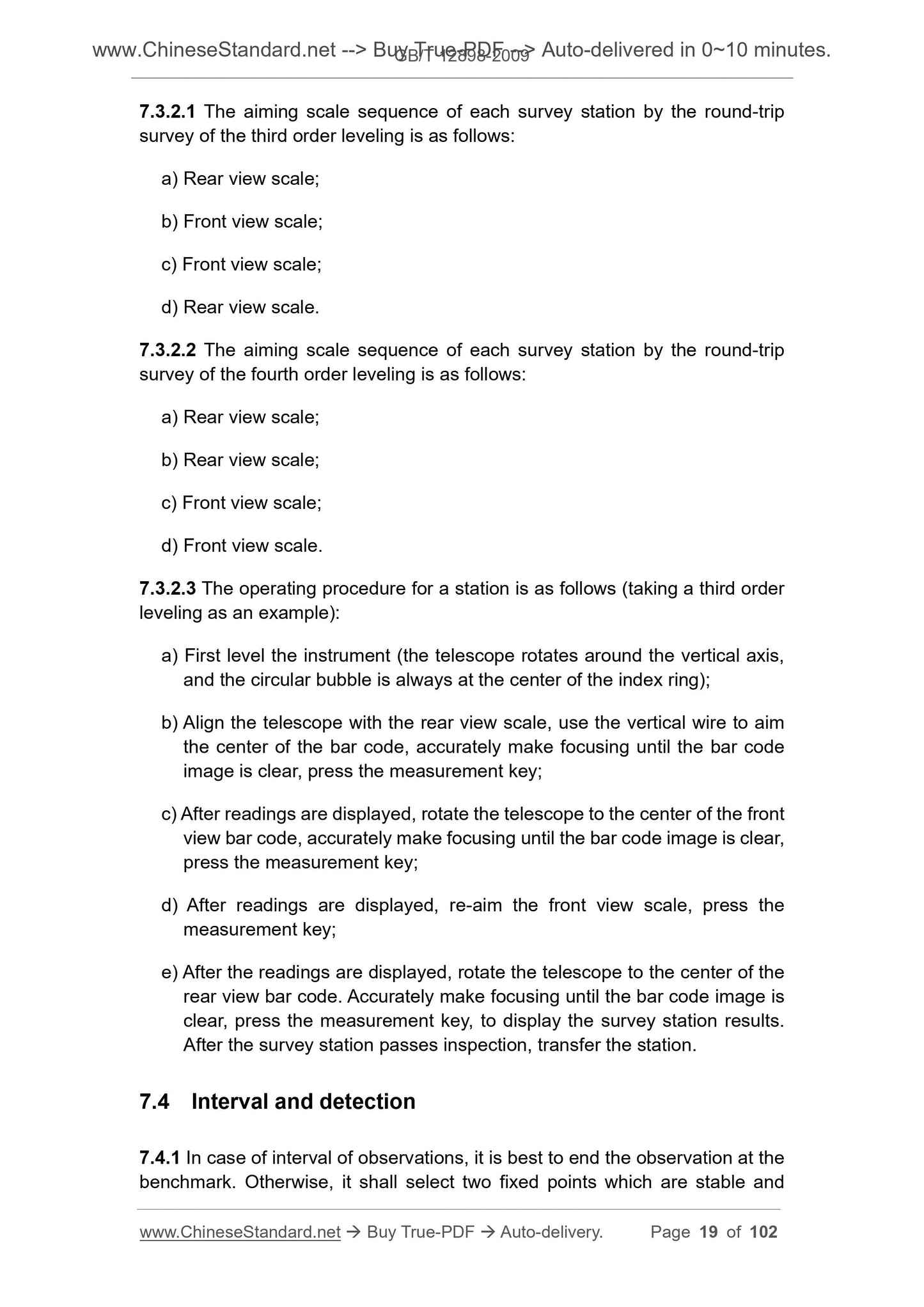
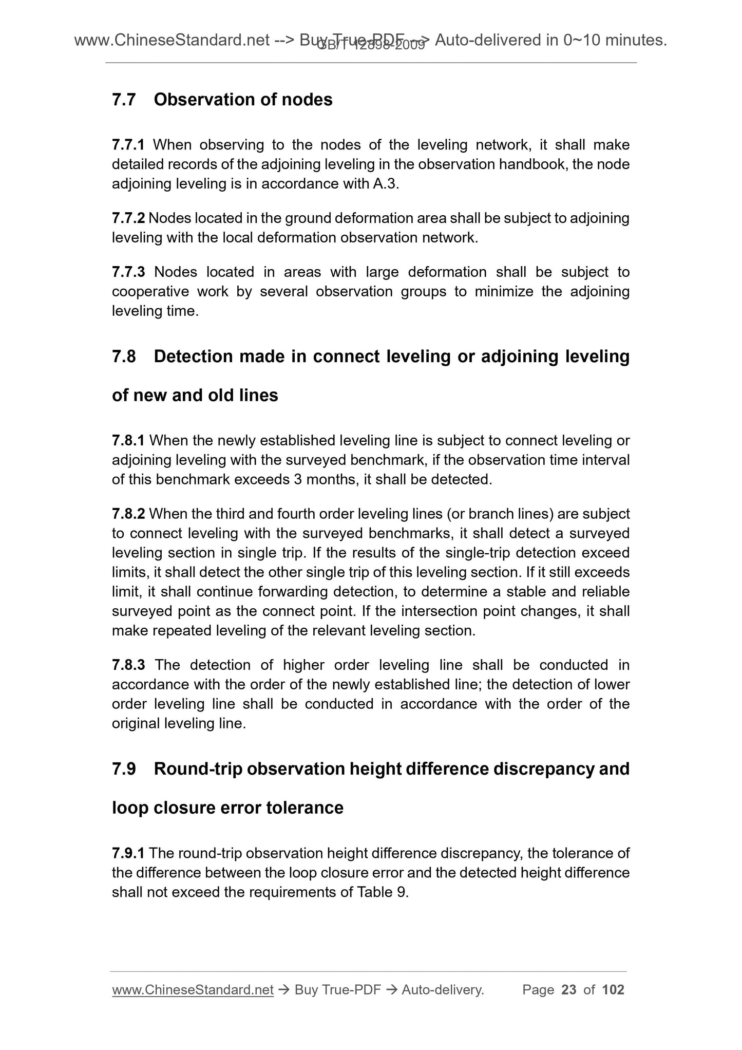
GB/T 12898-2009: Specification for the third and fourth order leveling
GB/T 12898-2009
GB
NATIONAL STANDARD OF THE
PEOPLE’S REPUBLIC OF CHINA
ICS 07.040
A 76
Replacing GB 12898-1991
Specifications for the third and fourth order leveling
ISSUED ON. MAY 06, 2009
IMPLEMENTED ON. OCTOBER 01, 2009
Issued by. General Administration of Quality Supervision, Inspection and
Quarantine;
Standardization Administration of the People's Republic of
China.
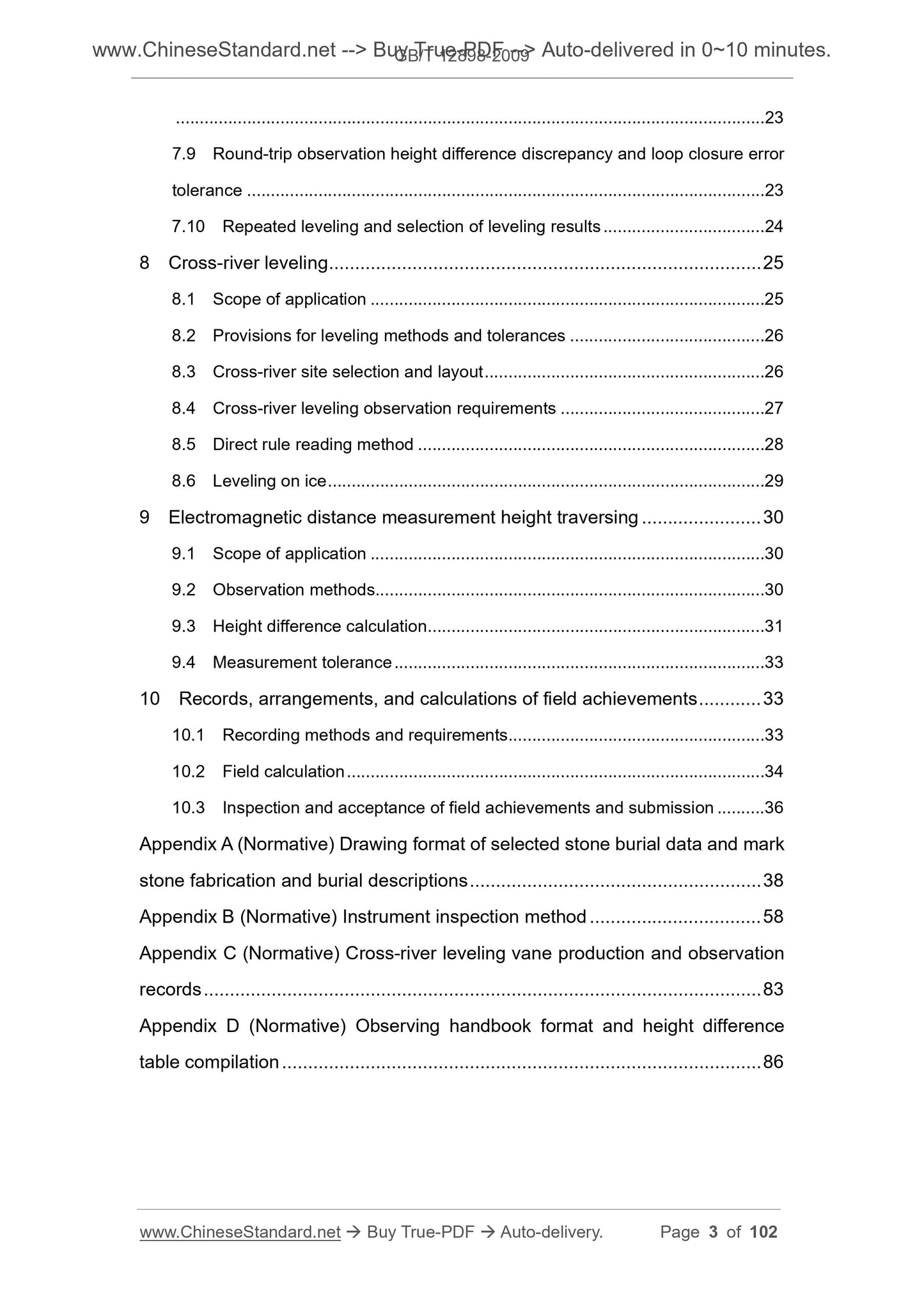
Table of Contents
Foreword ... 4 
1 Scope ... 5 
2 Normative references ... 5 
3 Terms and definitions ... 6 
4 Leveling network ... 7 
4.1 Elevation system and elevation reference ... 7 
4.2 Measurement accuracy ... 7 
4.3 Layout principles ... 8 
4.4 Benchmark layout density ... 8 
4.5 Line naming and benchmarking numbering ... 9 
4.6 Connection of new line and surveyed line ... 9 
4.7 Technical design of leveling network ... 10 
5 Point selection and stone burial ... 10 
5.1 Point selection ... 10 
5.2 Stone burial... 11 
6 Technical requirements of instrument ... 13 
6.1 Selection of instruments ... 13 
6.2 Instrument calibration ... 14 
6.3 Instrument technical indicators ... 15 
7 Leveling observation ... 16 
7.1 Observation methods... 16 
7.2 Survey station setting requirements ... 17 
7.3 Observation sequences and methods on survey stations ... 17 
7.4 Interval and detection ... 19 
7.5 Survey station observation tolerance, digits of reading, and settings ... 20 
7.6 Matters to follow during observation ... 22 
7.7 Observation of nodes... 23 
7.8 Detection made in connect leveling or adjoining leveling of new and old lines
... 23 
7.9 Round-trip observation height difference discrepancy and loop closure error
tolerance ... 23 
7.10 Repeated leveling and selection of leveling results ... 24 
8 Cross-river leveling ... 25 
8.1 Scope of application ... 25 
8.2 Provisions for leveling methods and tolerances ... 26 
8.3 Cross-river site selection and layout ... 26 
8.4 Cross-river leveling observation requirements ... 27 
8.5 Direct rule reading method ... 28 
8.6 Leveling on ice ... 29 
9 Electromagnetic distance measurement height traversing ... 30 
9.1 Scope of application ... 30 
9.2 Observation methods... 30 
9.3 Height difference calculation ... 31 
9.4 Measurement tolerance ... 33 
10 Records, arrangements, and calculations of field achievements ... 33 
10.1 Recording methods and requirements ... 33 
10.2 Field calculation ... 34 
10.3 Inspection and acceptance of field achievements and submission ... 36 
Appendix A (Normative) Drawing format of selected stone burial data and mark
stone fabrication and burial descriptions ... 38 
Appendix B (Normative) Instrument inspection method ... 58 
Appendix C (Normative) Cross-river leveling vane production and observation
records ... 83 
Appendix D (Normative) Observing handbook format and height difference
table compilation ... 86 
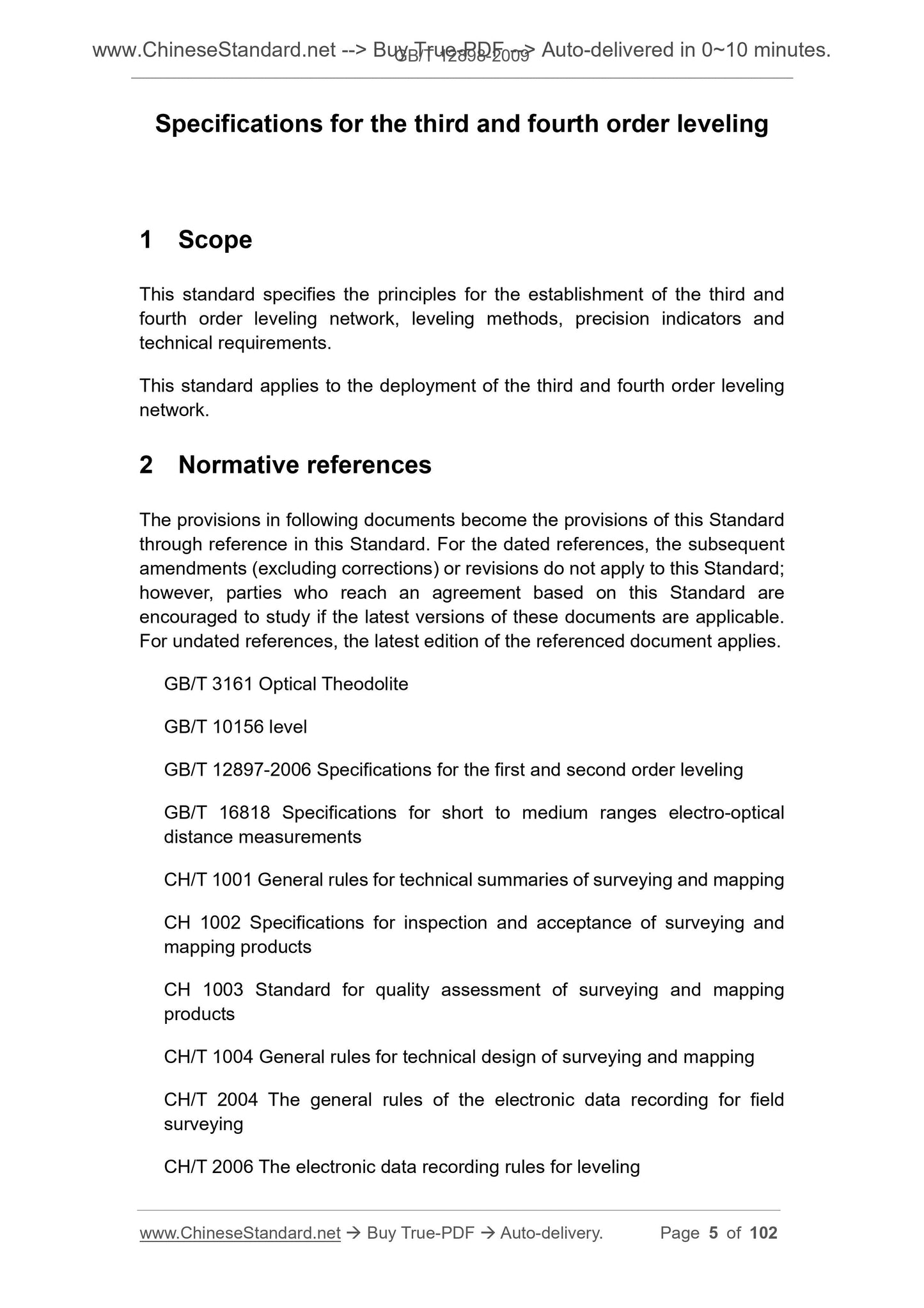
Specifications for the third and fourth order leveling
1 Scope
This standard specifies the principles for the establishment of the third and
fourth order leveling network, leveling methods, precision indicators and
technical requirements.
This standard applies to the deployment of the third and fourth order leveling
network.
2 Normative references
The provisions in following documents become the provisions of this Standard
through reference in this Standard. For the dated references, the subsequent
amendments (excluding corrections) or revisions do not apply to this Standard;
however, parties who reach an agreement based on this Standard are
encouraged to study if the latest versions of these documents are applicable.
For undated references, the latest edition of the referenced document applies.
GB/T 3161 Optical Theodolite
GB/T 10156 level
GB/T 12897-2006 Specifications for the first and second order leveling
GB/T 16818 Specifications for short to medium ranges electro-optical
distance measurements
CH/T 1001 General rules for technical summaries of surveying and mapping
CH 1002 Specifications for inspection and acceptance of surveying and
mapping products
CH 1003 Standard for quality assessment of surveying and mapping
products
CH/T 1004 General rules for technical design of surveying and mapping
CH/T 2004 The general rules of the electronic data recording for field
surveying
CH/T 2006 The electronic data recording rules for leveling
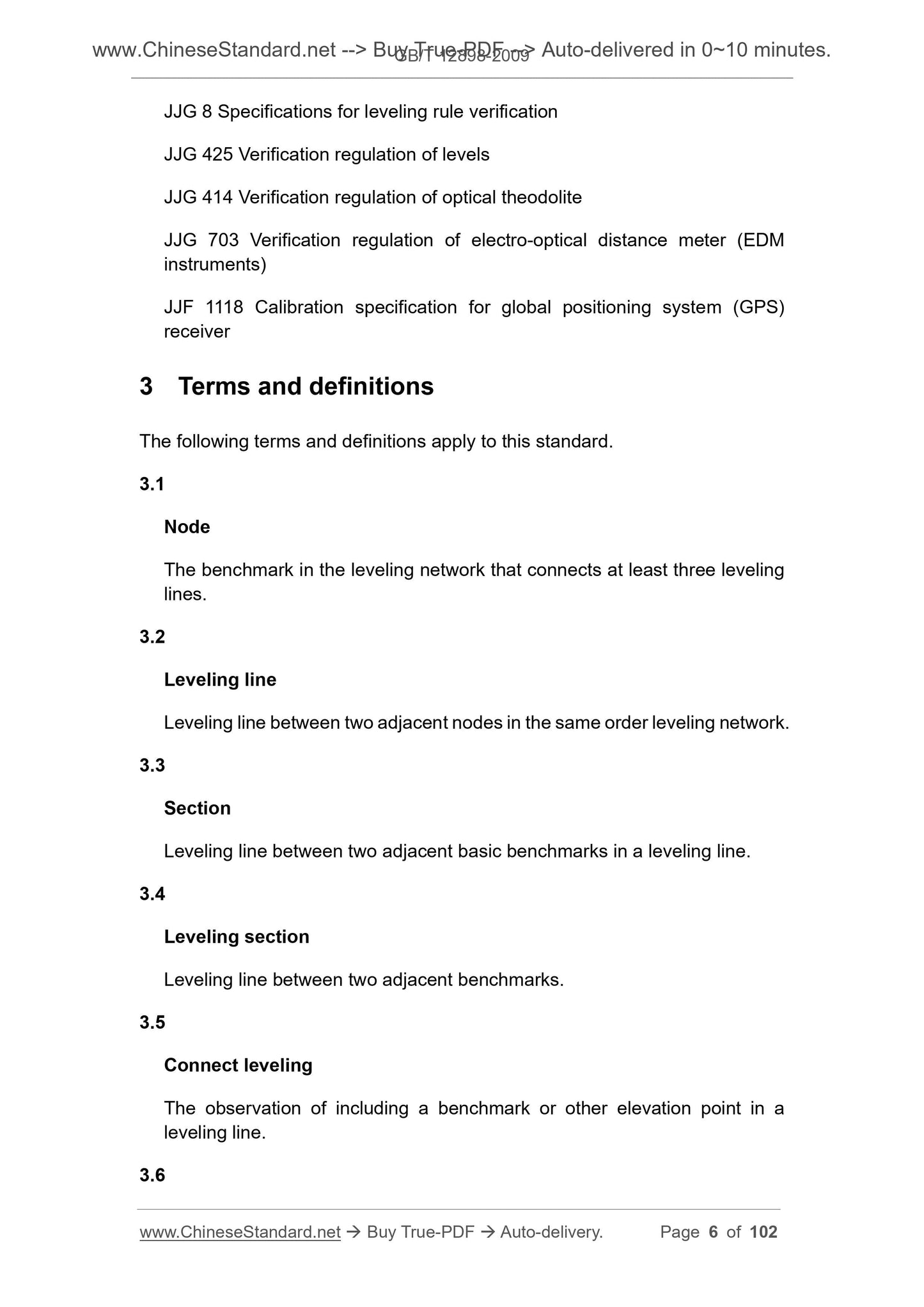
JJG 8 Specifications for leveling rule verification
JJG 425 Verification regulation of levels
JJG 414 Verification regulation of optical theodolite
JJG 703 Verification regulation of electro-optical distance meter (EDM
instruments)
JJF 1118 Calibration specification for global positioning system (GPS)
receiver
3 Terms and definitions
The following terms and definitions apply to this standard.
3.1
Node
The benchmark in the leveling network that connects at least three leveling
lines.
3.2
Leveling line
Leveling line between two adjacent nodes in the same order leveling network.
3.3
Section
Leveling line between two adjacent basic benchmarks in a leveling line.
3.4
Leveling section
Leveling line between two adjacent benchmarks.
3.5
Connect leveling
The observation of including a benchmark or other elevation point in a
leveling line.
3.6
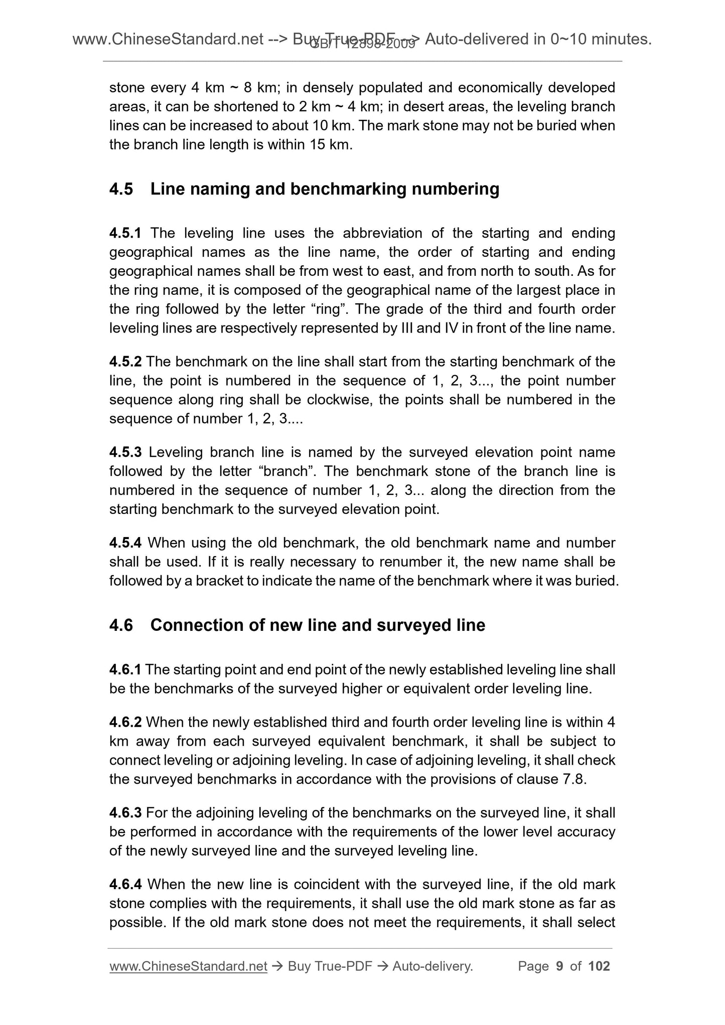
stone every 4 km ~ 8 km; in densely populated and economically developed
areas, it can be shortened to 2 km ~ 4 km; in desert areas, the leveling branch
lines can be increased to about 10 km. The mark stone may not be buried when
the branch line length is within 15 km.
4.5 Line naming and benchmarking numbering
4.5.1 The leveling line uses the abbreviation of the starting and ending
geographical names as the line name, the order of starting and ending
geographical names shall be from west to east, and from north to south. As for
the ring name, it is composed of the geographical name of the largest place in
the ring followed by the letter “ring”. The grade of the third and fourth order
leveling lines are respectively represented by III and IV in front of the line name.
4.5.2 The benchmark on the line shall start from the starting benchmark of the
line, the point is numbered in the sequence of 1, 2, 3..., the point number
sequence along ring shall be clockwise, the points shall be numbered in the
sequence of number 1, 2, 3...
4.5.3 Leveling branch line is named by the surveyed elevation point name
followed by the letter “branch”. The benchmark stone of the branch line is
numbered in the sequence of number 1, 2, 3... along the direction from the
starting benchmark to the surveyed elevation point.
4.5.4 When using the old benchmark, the old benchmark name and number
shall be used. If it is really necessary to renumber it, the new name shall be
followed by a bracket to indicate the name of the benchmark where it was buried.
4.6 Connection of new line and surveyed line
4.6.1 The starting point and end point of the newly established leveling line shall
be the benchmarks of the surveyed higher or equivalent order leveling line.
4.6.2 When the newly established third and fourth order leveling line is within 4
km away from each surveyed equivalent benchmark, it shall be subject to
connect leveling or adjoining leveling. In case of adjoining leveling, it shall check
the surveyed benchmarks in accordance with the provisions of clause 7.8.
4.6.3 For the adjoining leveling of the benchmarks on the sur...
View full details